
The Ultimate Guide to Handheld GPS
Expert Field Mapping and Navigation for Homesteaders
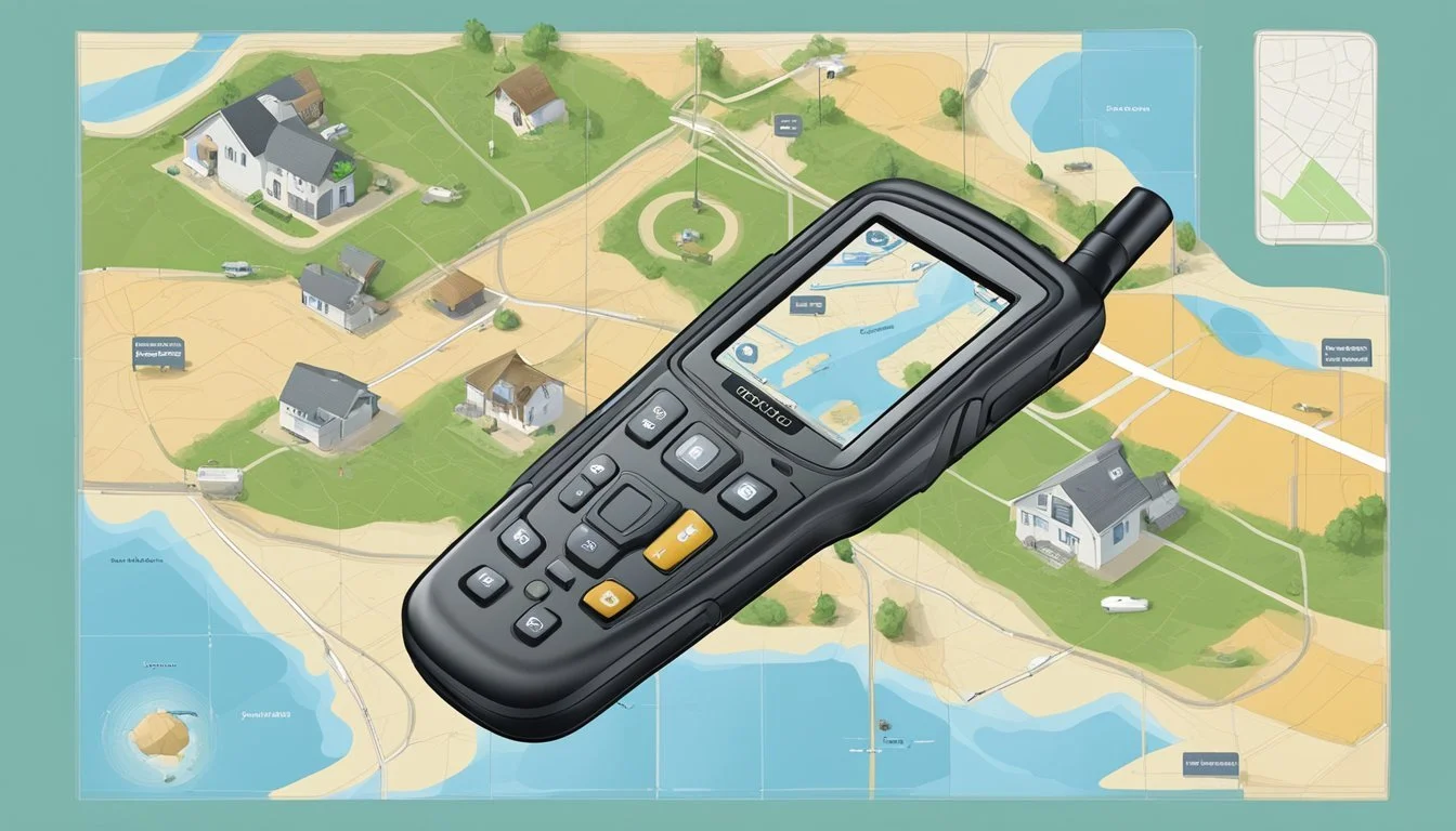
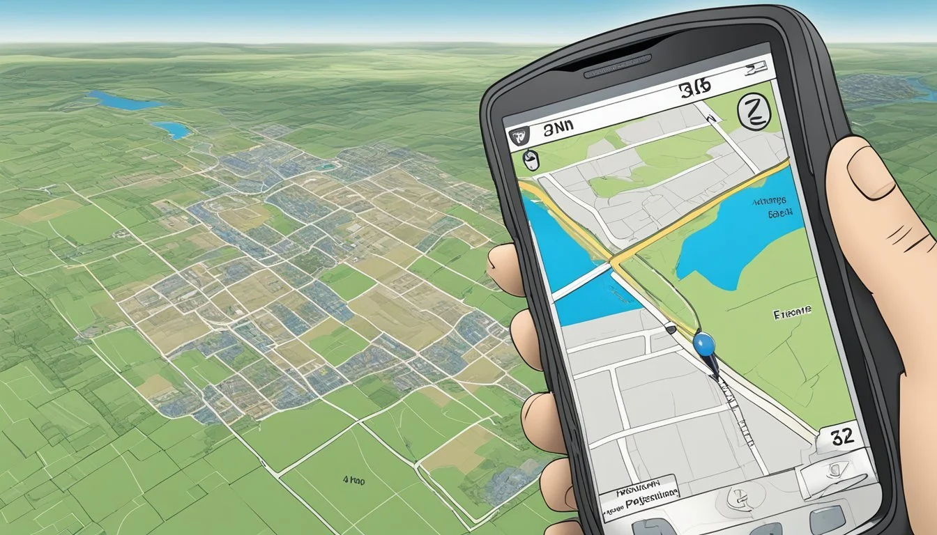
In the world of homesteading, effectively managing large properties requires precise mapping and navigation. Handheld GPS devices have become essential tools for homesteaders to map their fields, track boundaries, and navigate expansive tracts of land. Utilizing GPS technology allows for more efficient land management, from planting and harvesting to fencing and building structures, ensuring that every inch of property is effectively utilized.
With a wide array of handheld GPS units on the market, it is important for homesteaders to select devices that match their specific needs. Advanced units come equipped with features such as automatic area calculation, slope measurement, and long-lasting battery life, providing valuable data in real-time. Waterproof and ergonomic designs found in top models ensure durability and ease-of-use in various field conditions, making them practical for everyday use in rugged environments.
Understanding how to set up and effectively use these devices is critical for maximizing their potential. The initial setup includes selecting a language, agreeing to terms and conditions, and familiarizing oneself with the device's interface. Mastery of features like real-time tracking and accurate map creation can have significant benefits for property management, leading to more informed decision-making for sustainable homestead planning and development.
Understanding GPS Technology

Handheld GPS devices empower users with accurate navigation and mapping, leveraging advanced satellite technology to operate. These tools are vital for managing large properties and executing fieldwork with precision.
Global Positioning System (GPS) Basics
The Global Positioning System (GPS) is a network of about 30 satellites orbiting Earth, providing location and time information to GPS receivers anywhere on the planet, provided there is an unobstructed line of sight to four or more satellites. A handheld GPS unit interprets signals from these satellites to pinpoint its exact location on the globe—critical for field mapping in homesteading.
Satellite Systems and Their Significance
Satellite Systems: GPS is not the only player in the field of satellite navigation systems, with others such as GLONASS, Galileo, and BeiDou contributing to the global network. However, GPS is widely used due to its:
Extensive Coverage: Full global coverage offering reliable positioning data.
Accuracy: High-level precision used for a diverse range of applications.
Using multiple satellite systems can enhance the reliability and accuracy of a handheld GPS device, ensuring continuous service in various environments.
Handheld GPS vs. Smartphone GPS
Handheld GPS devices are specifically designed for navigation and are typically more reliable for homesteading tasks compared to smartphones. Key differences include:
Durability: Handheld GPS units are often rugged and weather-resistant.
Battery Life: They tend to offer longer battery life—a critical feature in the field.
Sensitivity: GPS receivers in handheld units are generally more sensitive, maintaining a signal in dense foliage or canyons.
A handheld GPS device does not rely on cellular signals and provides services based solely on satellite information, which is particularly useful in remote areas where smartphone GPS apps may fail.
Choosing the Right Handheld GPS

When mapping fields and navigating large properties in homesteading, selecting an appropriate handheld GPS device is critical. The device chosen must offer precision, durability, and suitable battery longevity to ensure reliable navigation and mapping.
Key Features to Look For
The key features one should look for in a handheld GPS include:
Accuracy: Devices should have multi-GNSS support, including GPS, Galileo, Glonass, and Beidou, for the most reliable location tracking.
Display: A clear, readable display, around 2.2-inch or larger. A screen that’s sunlight-readable is advantageous. For those preferring a modern interface, a touchscreen may be preferred.
Durability: Your device should be durable and water-resistant, capable of withstanding harsh outdoor conditions.
Memory: Look for units with substantial internal memory and the option for expandable memory to store comprehensive map data and waypoints.
Comparing Popular GPS Models
Garmin eTrex 22x: Display - 2.2-inch, Memory - 8 GB internal, Multi-GNSS Support - Yes, Expandable Memory - Yes
Garmin eTrex 32x: Display - 2.2-inch, Memory - 8 GB internal, Multi-GNSS Support - Yes, Expandable Memory - Yes
TwoNav Models: Display - Varied, Memory - Varied, Multi-GNSS Support - Yes, Expandable Memory - Model dependent
The Garmin eTrex 22x is a popular model known for its solid build and reliability. It offers a 2.2-inch color display and comes with 8 GB of internal memory. The Garmin eTrex 32x, which is similar in design to the 22x, renders higher-level performance with additional sensors.
Battery Life and Power Options
Battery life is essential for uninterrupted fieldwork:
Garmin eTrex models offer around 15 hours of battery life.
Look for devices that operate on AA batteries for easy replacement or that feature rechargeable battery packs.
Some models provide battery save mode options to extend usage.
Choose a handheld GPS that balances features with power efficiency to suit extensive use in homesteading tasks.
Essential GPS Functions for Field Mapping
Utilizing a handheld GPS efficiently can transform field mapping and navigation for homesteading. The device’s capability to set waypoints, interpret topographic data, and accurately log field information is indispensable for managing large properties.
Setting Waypoints and Tracking Routes
Waypoints are specific geographic coordinates that mark points of interest or critical locations on a property. They are crucial for delineating boundaries, planning, and navigation. When mapping out a field, a user can set waypoints at the corners or specific features of interest.
Function: Marking waypoints involves selecting a location on the GPS unit and saving the coordinates for future reference.
Advantage: This simplifies the creation of routes, which are sequences of waypoints, to define the periphery or specific paths across a property.
Precision: Ensure each waypoint is marked with precision; slight miscalculations can lead to inaccurate mapping or inefficient routing.
Understanding and Using Topographic Maps
Topographic maps showcase the elevation and terrain features of an area, which are essential for planning and field management.
Topoactive Maps: Some GPS devices come with preloaded topoactive maps that offer a detailed representation of the topography.
Usage: By understanding contour lines and elevation information, one can navigate through different field terrains and assess the suitability for various land uses.
Benefits: This aids in water flow analysis, soil management, and strategic placement of structures or crops.
Marking and Recording Data in the Field
The ability to mark and record data accurately in the field is a valuable function of handheld GPS devices for homesteaders.
Data Recording: Users can store important field information such as soil type, vegetation cover, or areas requiring attention directly on their GPS unit.
Distance and Area: Devices can calculate the distance between points and the total area of a field, which is crucial for resource allocation and land management.
Method: When marking points, ensure that the coordinates are recorded, and if necessary, additional details are noted to facilitate effective data management.
Advanced GPS Features for Homesteading
In the realm of homesteading, leveraging advanced GPS features can lead to more efficient mapping and navigation across large properties. This section delves into how additional satellite systems, sophisticated sensors, and interactive GPS games enhance the utility of handheld GPS devices for smart and streamlined land management.
Connecting to Additional Satellite Systems
Most modern handheld GPS devices are not limited to the conventional GPS (Global Positioning System) satellites. They also connect to GLONASS, Galileo, and BeiDou. The integration of multiple satellite networks ensures higher accuracy and faster fix times. For homesteaders, this means:
Galileo provides high-precision service across the globe, vital for detailed field mapping.
With GLONASS, users gain the advantage of an additional 24 satellites, which can be particularly useful in northern latitudes.
BeiDou, a system developed by China, enhances positioning accuracy, especially in the Asia-Pacific region.
Navigating with Barometric Altimeter and Electronic Compass
Enhanced elevation data and directional orientation are critical for homesteaders who work on varied terrains.
A barometric altimeter aids in pinpointing the precise altitude based on atmospheric pressure, invaluable for accurate slope and elevation measurements.
The electronic compass, unlike a traditional compass, does not require movement to establish orientation. It provides immediate heading information, essential for backtracking and navigating between waypoints.
Using Geocaching and GPS Games for Boundary Mapping
Innovative homesteaders use geocaching and similar GPS games as a means of making boundary mapping engaging.
Geocaching allows for the discrete marking of property boundaries using GPS coordinates.
It transforms the task of triangulation, a method for determining location by measuring angles, into an interactive exercise.
Incorporating Birdseye satellite imagery turns a mundane survey into a treasure hunt, providing visual cues to align with geocache markers, thereby simplifying the mapping process.
By employing these advanced GPS features, homesteaders can achieve detailed field mappings, better orientation, and more interactive boundary demarcations, all contributing to a well-managed and navigable homestead.
Maximizing GPS Connectivity and Sharing

In the realm of handheld GPS devices, connectivity and the ability to share data are pivotal. These features enable users to integrate their devices with other technologies, enhancing mapping and navigation.
Bluetooth and Wi-Fi Capabilities
Modern handheld GPS devices often come equipped with Bluetooth and Wi-Fi functionalities. These wireless connections allow for the seamless transfer of mapping data to and from the device. Users can sync waypoints, tracks, and maps with the Garmin Explore app or similar software on smartphones and computers. For instance, devices with Wi-Fi connectivity can automatically update their maps and software without needing to connect to a PC.
Bluetooth: Enables sharing with smartphones for smart notifications and live tracking.
Wi-Fi: Facilitates cloud storage solutions and direct software updates.
Satellite Messaging and Emergency Features
Devices armed with inReach technology provide essential communication services like satellite messaging and SOS emergency response. They function beyond cellphone coverage, ensuring that users can stay connected in remote locations.
Satellite Messaging: Enables sending and receiving text messages via satellite networks.
Emergency Features: An SOS function can alert emergency services with the user's location.
Integrating with Apps and Software
Handheld GPS devices integrate with various apps and software to extend their functionality. For example, the Garmin Explore app allows users to plan trips and view real-time GPS data on their smartphones.
Mapping Software: Import and analyze GPS data for field mapping.
Data Backup and Sharing: Cloud services enable storing and sharing of routes and waypoints.
By leveraging these connectivity and sharing capabilities, users optimize the utility of their handheld GPS devices for effective management of large properties and thorough field mapping.
Practical Tips for GPS Use in Homesteading

In managing large properties and homesteads, handheld GPS devices become indispensable for field mapping and navigation. Here are some practical tips to ensure efficient, reliable use tailored to the unique demands of homesteading.
Improving Reception and Accuracy in Varied Terrain
Seek Open Skies: Position oneself in areas with minimal obstruction to the sky to improve GPS signal reception, such as clear fields away from dense forests.
High-Quality Antennas: Use devices with superior antennas that can maintain a strong signal even in challenging environments, to uphold accuracy and reliability.
Efficient Route Planning and Navigation
Waypoints: Mark important locations as waypoints for efficient movement across large properties.
Route Planning Software: Utilize route planning tools either on the GPS unit or through compatible software to pre-plan routes under direct sunlight or at home to streamline fieldwork.
Maintenance and Care for Long-Term Reliability
Protection from Elements: Store devices in a protective case, shielded from extreme temperatures and weather updates.
Regular Updates and Checks: Consistently update the GPS unit's software and routinely check for signal issues or discrepancies in performance to ensure ongoing reliability and durability.
By adhering to these practical approaches, one can maximize the functionality of GPS devices for successful homesteading.
Navigating the Outdoors with Handheld GPS
Handheld GPS devices have become indispensable tools for hikers, surveyors, and anyone involved in outdoor activities. Their precision in backcountry navigation and field mapping underpins the safety and efficiency of outdoor expeditions.
Geared towards Hikers and Outdoor Enthusiasts
GPS devices, like the Garmin GPSMAP 66i, appeal to hikers due to their robust build, reliable satellite connectivity, and features such as altimeters. They provide accurate locations and terrain information which are vital for outdoor enthusiasts exploring vast and complex landscapes. The ease of use and detailed mapping enable individuals to navigate through challenging trails confidently.
Utilizing GPS for Backcountry Navigation and Safety
For those venturing into the backcountry, especially remote and uncharted areas, a handheld GPS is crucial for navigation and safety. Devices equipped with multi-satellite support, such as Galileo, Glonass, and Beidou, ensure consistent coverage, even when cell service is not available. Hikers and outdoor enthusiasts rely on these tools to track their progress, mark waypoints, and plan emergency exit routes.
Leveraging GPS in Surveying and Agricultural Tasks
GPS units are integral in large-scale outdoor tasks like surveying and agriculture. Surveyors involved in tasks ranging from residential mapping to mining operations benefit significantly from the accurate data provided by GPS technology. These devices help in efficiently marking property boundaries and assist in precision farming, ensuring optimal use of the land. For agricultural professionals, handheld GPS units streamline the process of field mapping and managing large properties.
Features like preloaded topographic maps and in-field plotting capabilities make handheld GPS models, such as the Garmin eTrex and GPSMAP series, popular among both surveyors and homesteaders.
Note: This article has utilized multiple sources, and the information about specific GPS models and brands is based on available data as of the knowledge cutoff date. The GPS devices mentioned were evaluated to be leading choices in their field at the time.
Understanding GPS Specifications
When selecting a handheld GPS for mapping fields and navigating large properties, it is crucial to examine the specifications related to the display, memory, and environmental resistance to ensure the device meets the user's needs.
Display and Screen Size Considerations
The display of a handheld GPS is a critical factor, as it provides essential visual data. Garmin GPSMAP 65 and 65s models, for example, come with high-resolution, color displays. The eTrex series, which includes the eTrex Solar with a solar cell, boasts smaller screens but compensates with longer battery life due to its solar charging capabilities. A larger screen offers a clearer view but may impact the device's overall portability.
Memory and Storage Capacity
Memory and storage are pivotal for saving maps and waypoints. The Garmin GPSMAP 65 series comes equipped with ample memory—users should look for devices with at least 8 GB of internal memory, expandable via microSD slots. Adequate memory ensures that one can save detailed cartographic information without running into storage limitations during extensive surveying tasks.
Sensors and Environmental Resistance
Sensors such as a barometric altimeter and a 3-axis compass are standard in the Garmin GPSMAP 65 series, enabling accurate elevation data and bearing information. For properties with varied terrains, these sensors facilitate precise location tracking. Moreover, durability and environmental resistance are non-negotiable for a field-ready GPS. A waterproof rating, often indicated as IPX7, ensures the device can withstand exposure to water, making it a reliable tool across different weather conditions. Devices that mention a robust, durable build are preferred as they are likely to endure the wear and tear associated with homesteading work environments.
Frequently Asked Questions

Navigating through the plethora of options in handheld GPS devices and managing their functionality can lead to a series of questions. This section offers answers targeting reliability, functionality, and ease of use, tailored for those utilizing GPS technology in homesteading activities.
Troubleshooting Common GPS Issues
When facing issues with your handheld GPS device, a series of steps can be performed to diagnose and resolve common problems.
Battery Life: If the device won't hold a charge, ensure it's fully charged and consider battery replacement if necessary.
Signal Accuracy: Ensure you have a clear view of the sky; obstructions can interfere with signal quality.
Device Freezes: Perform a soft reset. Refer to the manual specific to your model, such as the Garmin GPSMAP 67i or eTrex 22x, for the appropriate procedure.
Upgrading and Expanding GPS Capabilities
To enhance the functionality of your GPS device, consider the following options:
Software Updates: Regularly update your device's firmware for improved functionality and new features.
Map Updates: Download the latest maps for accurate navigation. Devices like the Montana 700 often offer easy map updating processes.
Accessories: Add compatible accessories such as mounts or weather-resistant cases to improve durability.
Choosing Between GPS Devices and Accessories
When selecting a handheld GPS device, assess the following criteria to determine the best fit for your needs:
Multiband GPS Support: Devices like the Garmin GPSMAP 65s offer multiband GPS for better accuracy in challenging environments.
Battery Life and Rating: Evaluate the battery life, as longer battery duration offers extended use, critical for large property navigation.
Functionality: Compare features such as waypoint marking and track navigation. GPS watches provide convenience for on-the-go monitoring.
Consider starting with devices that have received solid ratings and are known for their reliability, such as the GPSMAP 67i for its inReach technology and the eTrex 22x for its straightforward interface and durability.
