
USDA Hardiness Zones in Arizona
A Guide to Planting Success
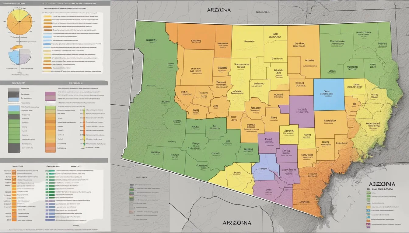
The USDA Plant Hardiness Zone Map serves as an essential guide for gardeners and growers in determining which plants are best suited to thrive in Arizona's diverse climates. The hardiness zone system, developed by the United States Department of Agriculture, classifies regions based on their average annual extreme minimum temperatures. In Arizona, hardiness zones span from zones 4b, with cooler temperatures, through to 10b, where the climate is substantially warmer. This classification helps in making informed decisions when selecting perennial plants for landscaping or agriculture.
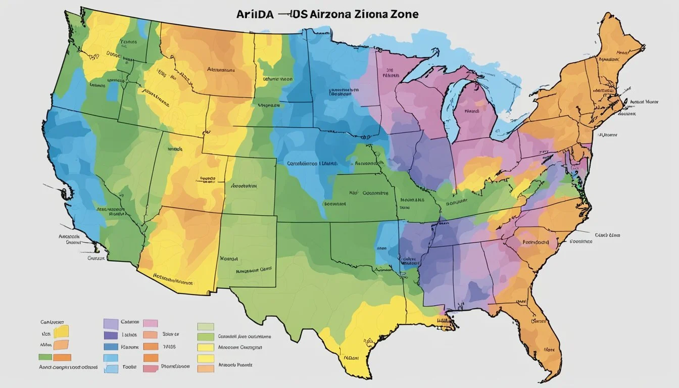
The map is divided into 10-degree Fahrenheit zones and further refined into 5-degree Fahrenheit half zones to provide a detailed outline of Arizona's climatic variations. A user navigating the USDA Plant Hardiness Zone Map will find specific temperature ranges associated with each location. For example, parts of Arizona like Youngtown fall into zone 9b, while Yuma is classified as zone 10a, which is indicative of milder winter temperatures suitable for a different set of plant species.
Understanding the intricacies of the hardiness zones in Arizona is crucial for successful gardening and agricultural planning. The zone designations take into account the most recent climate data, reflecting changes in weather patterns and aiding growers in adapting to the evolving environment. With careful consideration of these hardiness zones, one can enhance the sustainability and productivity of their horticultural pursuits in Arizona.
Understanding USDA Hardiness Zones

The USDA Plant Hardiness Zone Map is a critical tool for gardeners and growers in Arizona, categorizing regions based on their average annual extreme minimum winter temperature. This system simplifies the selection of plants that will thrive in local conditions.
The USDA Plant Hardiness Zone Map
The USDA Plant Hardiness Zone Map divides North America into 13 primary hardiness zones. Each zone represents an area of winter hardiness for plant species based on the extreme minimum temperature. In Arizona, these zones range from the cooler mountain regions to the warmer desert areas. The map is informed by temperature data, taking into account the lowest temperatures each region experiences to aid in plant selection and survival forecasts.
Interpreting the Map's Color Codes
On the USDA Plant Hardiness Zone Map, each zone is delineated by a unique color, representing a temperature range that corresponds to plants' cold tolerance. For instance, Zone 5a indicates average temperatures reaching lows between -20°F to -15°F, whereas Zone 10a reflects much warmer lows of 30°F to 35°F. These 10-degree F zones and 5-degree F half zones provide a precise method to gauge potential plant survival in the winter.
Relevance of Hardiness Zones to Gardeners and Growers
Hardiness zones are indispensable for gardeners and growers when selecting plants. By applying knowledge of the local hardiness zone, they can better determine which perennial plants can withstand the region's extreme minimum temperatures. Understanding one's specific zone within the USDA hardiness zone map empowers them to make informed decisions, ensuring a higher success rate for plant sustainability and growth.
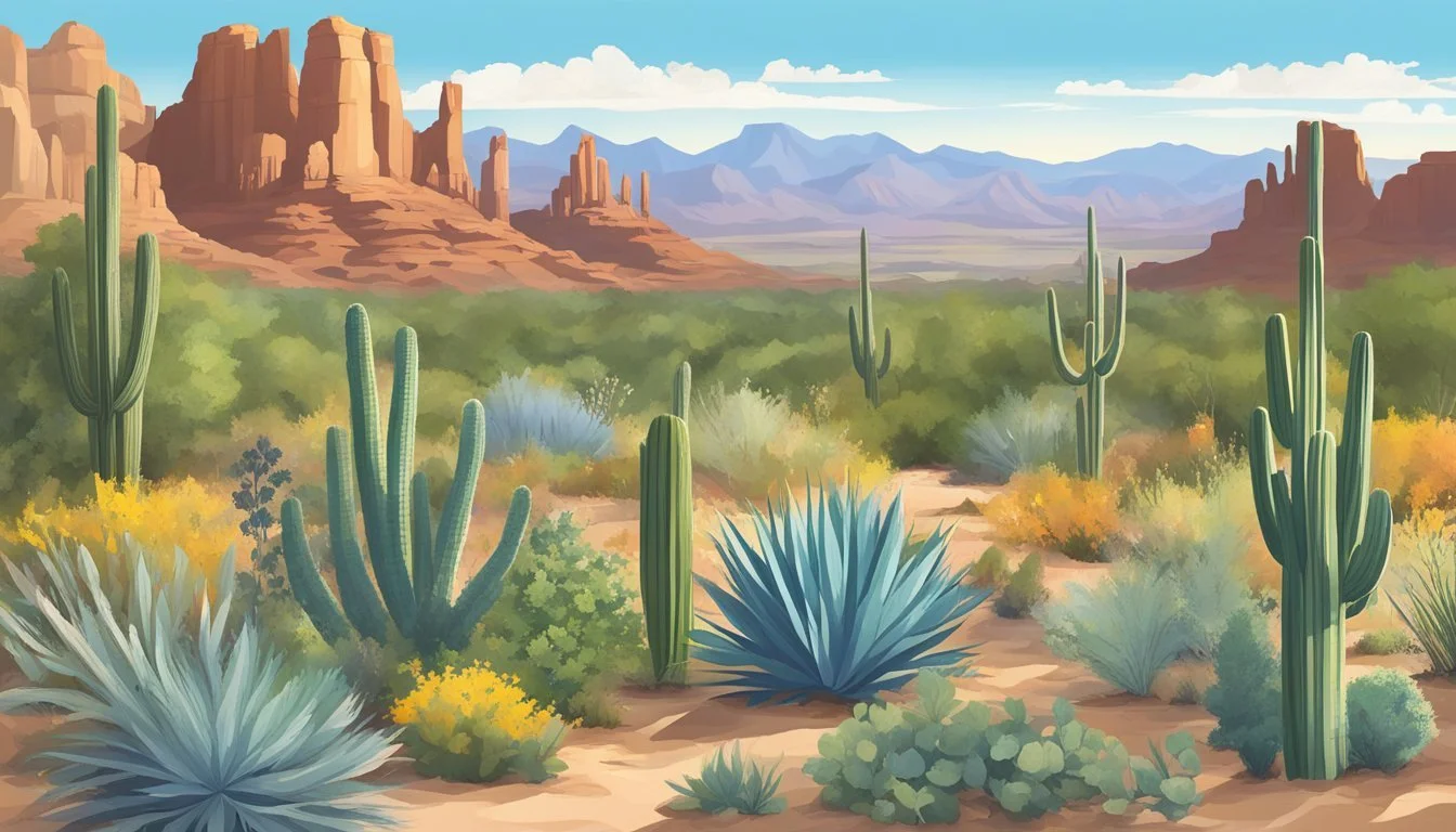
Arizona's Climatic Variation
The diversity of climates in Arizona, ranging from the hot, dry deserts to the cooler mountain regions, is truly unique. Driven by elevation and geography, this variation affects everything from planting schedules to the architecture designed to withstand extreme weather conditions.
Regional Climate Differences in Arizona
Arizona exhibits stark regional climate differences due to its expansive variety of geography. The state's lower desert regions, such as Phoenix and Tucson, experience a hot desert climate with extremely high summer temperatures and mild winters. In contrast, the higher elevations in areas like Flagstaff operate under a mountain climate, with cooler temperatures and heavier snowfall.
Desert Regions (Below 2,500 feet)
Summer temperature: Over 100°F
Winter temperature: 40-60°F
Mountain Regions (Above 6,000 feet)
Summer temperature: 60-80°F
Winter temperature: 20-40°F, with substantial snow
Impact of Elevation on Arizona’s Temperature
Elevation plays a critical role in determining Arizona's temperature swings. For every 1,000 feet of elevation gain, the temperature typically drops 3.5 to 5 degrees Fahrenheit. Subsequently, the weather station data from a city like Sedona, situated at about 4,350 feet, often records significantly cooler temperatures than a city such as Yuma, which lies at just 200 feet above sea level.
Arizona's Extreme Weather Conditions
Arizona faces a range of extreme weather conditions, intensified by climate change. Summer monsoons bring strong winds and occasionally flash flooding, while dust storms known as "haboobs" can radically reduce visibility. The state has also recorded warmer temperatures over recent years, suggestive of a broader trend in climate change. This warming has implications for snowpack in the mountains, with potential reductions in snowfall affecting water supply and ecosystem health.
Navigating the Hardiness Zones in Arizona
Navigating the hardiness zones in Arizona is crucial for gardeners and agriculturists to understand what plants can thrive in their region. The USDA Plant Hardiness Zone Map provides a detailed guide on the average annual extreme minimum temperatures.
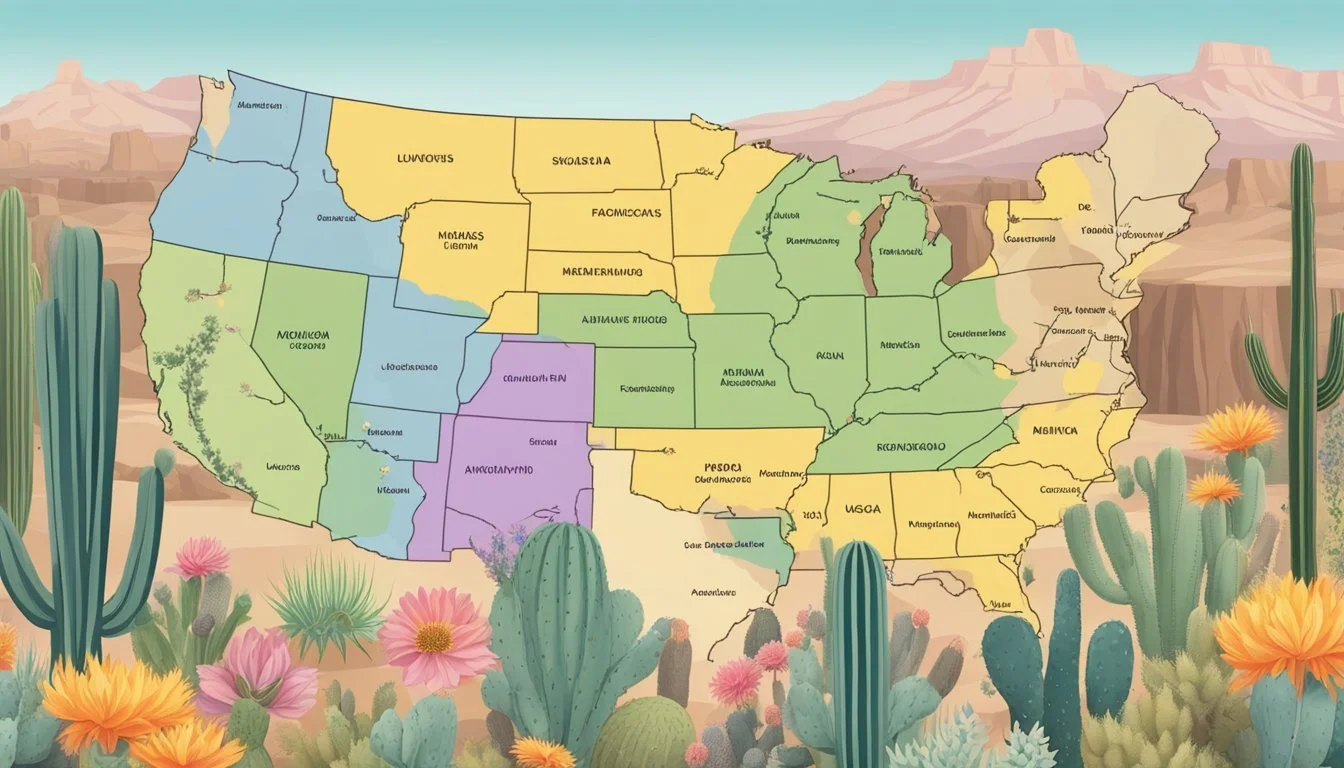
Zone Classifications Across Different Regions
Arizona's diverse terrain results in a variety of climatic conditions across the state, leading to a range of hardiness zones from 5a to 10b. In the higher elevations, such as Flagstaff and the White Mountains, lower zones like 5a and 6a are common, indicating chillier temperatures suitable for cold-hardy plants.
5a to 6b: Areas like Munds Park and Springerville.
7a to 8b: Transition zones encompassing cities like Prescott and Jerome.
9a to 10b: Warmer regions including Bullhead City, Central, and even Tucson.
The variations are significant. For example, Castle Hot Springs (9b), Cordes (8a), and Tusayan (6b) all showcase different planting challenges and opportunities.
Identifying Your Local Hardiness Zone
To pinpoint your specific hardiness zone, locate your city or zip code on the Arizona Interactive USDA Plant Hardiness Zone Map. For instance:
Ajo: 9b
Bagdad: 8a
Chino Valley: 7a
Saint Johns: 6b
Smaller communities such as Keams Canyon and Teec Nos Pos or regions like Mohave and Apache can also be identified on the state map based on their zip codes. Gardeners in Iron Springs (8a) and Seligman (7a) will select different plants compared to those in Monument Valley (8b).
Remember, each hardiness zone is divided into two half zones – 'a' (colder) and 'b' (warmer) – providing more precise guidance for your growing zones.
Practical Applications for Gardeners and Agriculturists
Understanding USDA Hardiness Zones is essential for Arizona gardeners and agriculturists as it informs their decisions on plant selection, risk management, and cultivation strategies to ensure a thriving garden or agricultural endeavor.
Selecting Appropriate Flora for Your Zone
Gardeners in Arizona must choose plants that are compatible with their local climate. An invaluable tool for this task is the USDA Plant Hardiness Zone Map, which classifies regions based on the average annual extreme minimum temperature. Nurseries and plant suppliers typically label perennial plants with their appropriate zone number, making it easier for gardeners to select flora that will endure the winter temperatures of their specific area.
Strategies for Agriculture and Risk Management
When managing large tracts of agricultural land, growers must consider various strategies to mitigate risks. The Agricultural Research Service (ARS) under the U.S. Department of Agriculture aids by providing detailed climatic data that can inform crop insurance decisions and highlight best practices for moisture and light management. Utilizing this ARS-provided information, agriculturists can devise risk management protocols tailored to their zone's unique conditions.
Zone-Specific Gardening Tips
Light: Ample sunlight is vital for most plants, yet the intensity and duration needed can vary substantially across different hardiness zones. Gardeners should assess their yard's sun exposure to determine suitable plants for their region.
Moisture: Arizona encompasses several hardiness zones, each with distinct moisture requirements. Gardeners can reference resources like the Arizona Climate Zones guide to understand their zone's humidity and precipitation patterns, which is critical for irrigation planning and preventing over or under-watering.
Trees and Shrubs: Selecting trees and shrubs for the yard or nursery should involve consideration of the hardiness zone. Trees that are well-adapted to a region's temperature variations usually require less maintenance and are more resistant to local pests and diseases.
Technical Tools for Exploring Hardiness Zones
With the advent of innovative mapping technologies, individuals and professionals now have powerful tools to determine USDA hardiness zones with precision. These advancements allow for efficient planning and planting based on localized climate data.
Utilizing the USDA Interactive Map
The USDA Plant Hardiness Zone Map is a user-friendly interactive GIS-based map which serves as an invaluable resource for gardeners and researchers alike. A broadband internet connection enables users to access this tool via the website, where a detailed legend explains the significance of each colored zone. To find a specific hardiness zone, users may simply input an address or ZIP code into the search box rendering a high-resolution map which displays fahrenheit zones as precisely as 5-degree F increments.
Technological Advances in Mapping Zones
The recent updates to the Plant Hardiness Zone Map leverage over 30 years of data from 1991 to 2020. Advanced GIS technology has played a pivotal role in this by providing a framework for processing years of climate data. Collaborative efforts by Oregon State University and other researchers have resulted in a map that now includes territories such as Puerto Rico, Hawaii, Alaska, and extends to high latitude states like Maine, and high elevation regions such as Colorado. These efforts have fine-tuned the representation of zones, ranging from the frigid zone 1 to the warmer climates.
Frequently Asked Questions
Understanding the USDA Hardiness Zones is key to successful gardening in Arizona. These zones guide gardeners in choosing plants that will thrive in their area.
How can I find the specific USDA Hardiness Zone for my location in Arizona?
One can reference the 2023 USDA Plant Hardiness Zone Map to determine the precise zone for any location in Arizona by entering their address or zip code.
Which plants are best suited for growth in Zone 10a in Arizona?
In Zone 10a of Arizona, plants like citrus trees, palm trees, and succulents are well-suited due to their ability to endure the warmer minimum temperatures of this region.
What is the USDA zone classification for Tucson, Arizona?
Tucson, Arizona, is typically classified within USDA zone 9b, where the average minimum temperature ranges from 25 to 30 degrees Fahrenheit.
Is there a comprehensive hardiness zone map available for the state of Arizona?
Yes, a detailed USDA Hardiness Zone Map for Arizona is available that outlines the specific zones throughout the state.
What planting zone does Maricopa, Arizona fall under?
Maricopa, Arizona, is situated in USDA Hardiness Zone 9b, suitable for a variety of plants that can withstand its winter temperature lows.
Can I determine the hardiness zone for my area in Arizona using my zip code?
Absolutely, utilizing one's zip code on the USDA Plant Hardiness Zone Map website is a reliable way to discover the hardiness zone for any area within Arizona.
