USDA Hardiness Zones in Delaware
A Guide to Climate-Suitable Gardening
The USDA Hardiness Zone Map is a critical tool for gardeners, landscapers, and agricultural professionals. It guides them in making informed decisions about plant selection by providing clear delineations of climate zones across the United States. In Delaware, this map is especially useful since the state's climate can vary, affecting how plants grow and survive the winter months. The zones in Delaware generally range from 6b to 7b, reflecting the average annual extreme minimum temperatures of the area.
Knowing one's specific zone can significantly impact the success of planting as certain plants are better suited to specific climates. Delaware's inclusion in zones 6b to 7b on the USDA Plant Hardiness Zone Map aligns with the region's typical weather patterns, assisting in selecting perennials that are most likely to endure and thrive year after year. This updated information is based on the latest data, accounting for Delaware's recent temperature trends and providing a more accurate tool for local planting strategies.
Understanding the nuances of these zones is essential for optimizing plant health and garden productivity in the First State. With the variations in temperature even within small geographic areas, the USDA map becomes an indispensable reference for Delaware's gardening community, ensuring that plant selection is done with a clear knowledge of the local climate’s influence on plant growth and survival.
Understanding USDA Hardiness Zones
USDA Hardiness Zones are vital for anyone looking to plant effectively in their geographic region. These zones guide the selection of plants most likely to thrive based on local climate conditions.
Historical Context and Development
The USDA Plant Hardiness Zone Map was developed by the United States Department of Agriculture's Agricultural Research Service. This tool represents a culmination of extensive temperature data and agricultural insight spanning decades. Historically, it illustrates the average annual minimum winter temperatures of areas across the United States, broken down into 10-degree Fahrenheit zones, with 5-degree Fahrenheit sub-zones for finer granularity.
Significance for Gardeners and Growers
For gardeners and growers, understanding one's specific hardiness zone is crucial for the success of perennial plants. The USDA Plant Hardiness Zone Map serves as a benchmark — it helps in predicting which plants can handle the winter cold in their region. For instance, Delaware, which falls within Zones 6a through 7a, offers a distinct range of temperatures allowing varied plant life to flourish. Gardeners in this state rely on this map to make informed decisions about their gardens, ensuring a harmonious balance with the local climate.
The New Delaware USDA Hardiness Zone Map
The 2023 USDA Plant Hardiness Zone Map reflects Delaware's latest climate data, providing critical insights for gardeners and agricultural decisions.
Key Features of the Latest Version
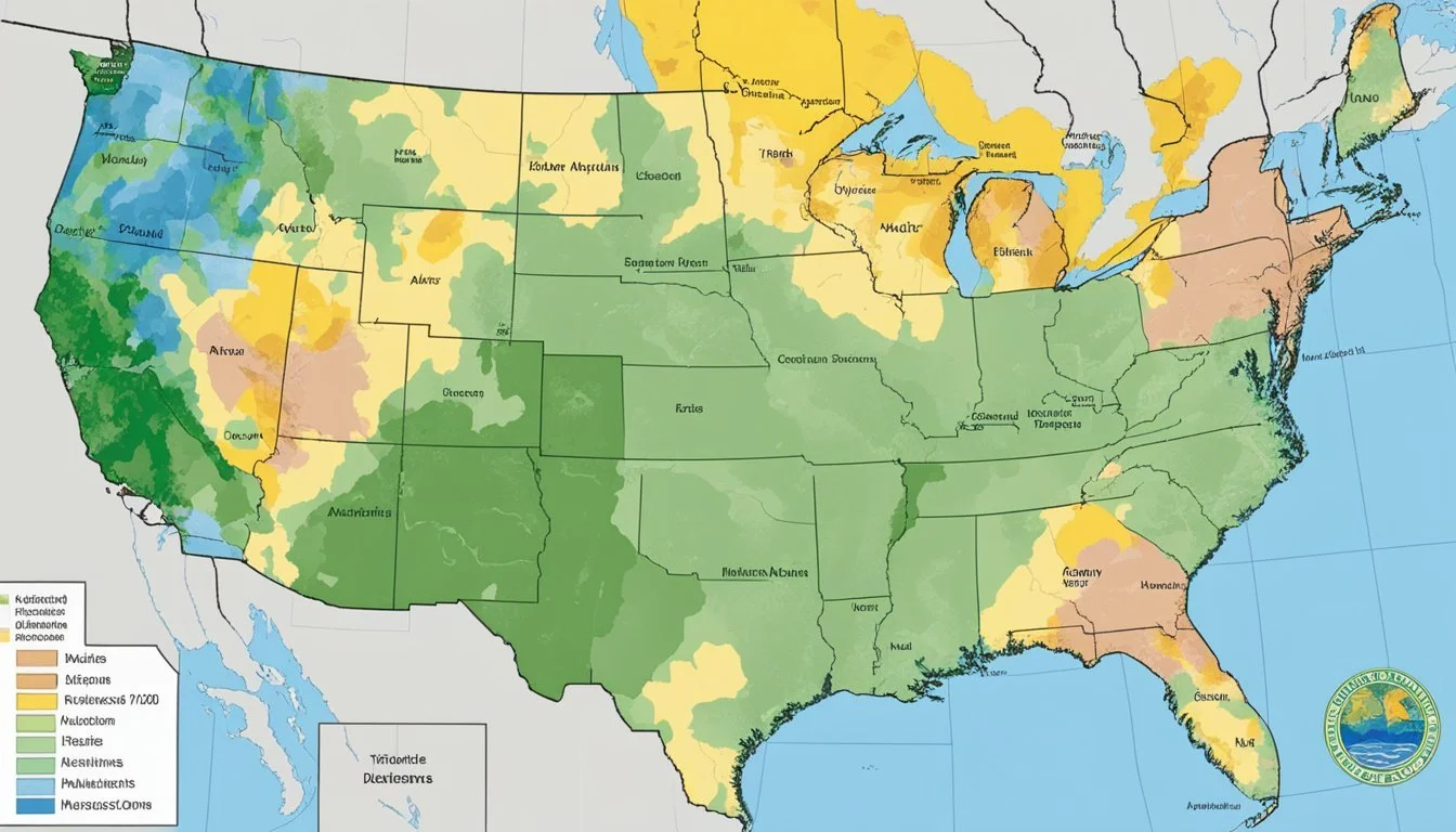
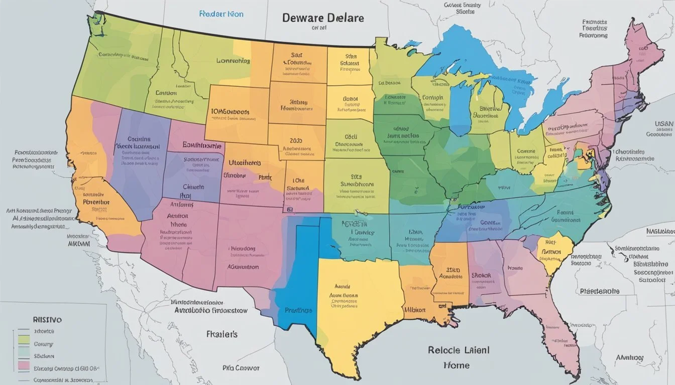
The latest version of the map introduces refined zones that correspond to Delaware's current climate trends. Notably, the 2023 version incorporates high-resolution data to display Delaware's hardiness zones with greater detail. The updated map illustrates zones with precise demarcations, offering a clearer guide for selecting the right plants for any given location within the state.
Accuracy: Improved through localized climate monitoring.
Resolution: Higher granularity provides detailed regional distinctions.
Accessibility: Enhanced online tools for easier navigation.
Changes and Updates from Previous Maps
The latest map marks a notable shift from past editions, showcasing Delaware's response to climate change. Key among these changes is the northward shift of certain zones, indicating a warmer trend. Historical zones have been adjusted, making it essential for Delaware's gardeners and growers to re-evaluate their perennial plant selections.
Zone Shifts: Changes indicated in areas such as Woodside, Woodside East, and Wyoming, with shifts towards warmer classifications, such as from Zone 6b to 7a.
Temperature Adjustments: Average annual extreme minimum temperatures have been updated, essential for plant survivability assessments.
Using the Delaware Hardiness Zone Map
The Delaware Hardiness Zone Map is an essential tool for gardeners and landscapers, enabling them to select appropriate plants for their location. It's based on the average annual minimum winter temperature and divides the state into zones represented by colors and numbers.
Navigating the Interactive GIS-based Map
The Delaware Interactive USDA Plant Hardiness Zone Map utilizes GIS technology to provide users with detailed spatial information. Once on the website, users can interact with the map by panning and zooming to view their locality with greater precision. Use the search box to enter an address or a point of interest for a more focused approach.
Understanding the Map Legend and Color Guide
The map legend is integral to deciphering the hardiness zones. Each color on the legend corresponds to a specific range of temperatures, distinguishing one hardiness zone from another. For example, light yellow may represent Zone 7a, signifying temperatures between 0°F to 5°F. Familiarizing oneself with this color guide ensures correct interpretation of the zone map.
Locating Specific Zones by Zip Code
To find hardiness zones for a specific area, use the map’s zip code search functionality. Insert the zip code in the designated box to reveal the zone information for that area. This feature is especially useful for users looking to make precise planting decisions for their unique location.
Practical Applications in Delaware
Understanding the USDA Hardiness Zones is crucial for Delaware’s gardeners and agricultural producers. It supports informed decision-making regarding the types of plants to cultivate and the strategies for seasonal agricultural planning.
Gardening and Plant Selection
In Delaware's varied climate, gardeners refer to the USDA Plant Hardiness Zone Map to identify which plants are most likely to thrive. Delaware encompasses zones ranging from 6a to 7b, indicating differential winter temperature lows. In Zone 7, for instance, perennial plants that can withstand minimum winter temperatures of 0°F to 10°F are ideal. This means Arden's garden enthusiasts might select hardy ornamentals and native perennial species well-suited to their specific microclimate.
Residents also seek advice from local nurseries, where horticulturists offer plant selections aligned with regional hardiness considerations. It’s common to find an array of plants categorized by zone, making garden planning straightforward for both novice and experienced gardeners. The selection often focuses on plants capable of enduring Delaware’s winter conditions and prospering in its summers.
Agricultural Planning and Crop Selection
For Delaware's growers, the hardiness zones are essential for long-term agricultural planning. Crop selection is tailored not just by the generalized zone, but also by analyzing the microclimates across farmlands. This fine-tuning ensures that crops like winter wheat align with the expected winter temperature lows and that growers remain prepared for periodic variations.
Here’s a simplified view of crop recommendations based on hardiness zones:
Zone 6a and below: Hardy root vegetables and leafy greens that can tolerate the cold.
Zone 7: A wider range of fruit and vegetable crops, given the milder winter temperatures.
Agricultural extensions provide tailored guidance to maximize yields, incorporate sustainable practices, and manage risk related to weather variability. They promote the selection of varieties that are known to succeed in Delaware's specific zones, ensuring that both annual and perennial plants meet the expectations for growth and productivity year after year.
Hardiness Zones Beyond Delaware
The concept of USDA Hardiness Zones extends well beyond Delaware, offering gardeners and horticulturists across the United States and its territories an indispensable tool for informed planting. This set of guidelines is as dynamic as the diverse climates found from Alaska to Puerto Rico.
Puerto Rico and Other US Territories
Puerto Rico and other US territories are integral parts of the USDA zone map's scope. Despite Puerto Rico's tropical climate, the USDA Plant Hardiness Zone Map does classify the island within certain zones—primarily zones 11a to 13b—which reflects the warm temperatures and the minimal seasonal variation. This contrasts sharply with the contiguous states' zones, usually ranging from 3a to 10b, with regions such as Wyoming experiencing harsh winters, indicative of its zones 3b to 5b.
State-by-State Variations
Hardiness zones in the United States display a remarkable range owing to vast geographical and climatic differences:
Alaska, by far the coldest state, includes zones ranging from 1a to 8b, thus showing a broad temperature spectrum based on locality.
The temperate coastal climates, like those found in Oregon and Washington, usually fall within zones 4a to 9b, depending on elevation and proximity to the coast.
Hawaii's tropical conditions place it firmly within zones 10a to 12b, with a growing season that extends year-round.
States like Maine, situated in the northeast, experience cold winters and have zones ranging from 3b to 6a.
A state that demonstrates the use of half zones for finer adjustments is Oregon, with western areas in milder zones like 8b and eastern regions in colder zones, such as 6a.
This state-by-state variation is a clear indication of the complexity and usefulness of the USDA Hardiness Zone Map for both amateur and professional plant enthusiasts across all states and territories.
Technical Aspects of Hardiness Mapping
Mapping plant hardiness zones is a highly technical process that incorporates advanced Geographic Information Systems (GIS) and intensive climate data analysis. The accuracy of these maps directly impacts agricultural and horticultural decision-making.
GIS Technology in Zone Mapping
GIS plays a crucial role in the creation of USDA Hardiness Zone Maps by providing the spatial analysis tools necessary to visualize and manage location-based information. These systems employ high-resolution satellite imagery and environmental data to delineate zones with a high degree of precision. By utilizing GIS, the USDA can integrate layers of climate data over the 30-year period from 1991 to 2020, allowing for the generation of detailed maps that reflect extreme minimum temperatures with great accuracy.
Analyzing Climate Data for Zone Determination
Analyzing climate data is foundational in assigning hardiness zones. Scientists examine the average annual extreme minimum winter temperature to categorize regions into zones. These temperatures are not static and have been updated periodically to reflect changes due to climate change. The most recent update considers extreme minimum temperature data collected from 1991 to 2020, which allows for more accurate and up-to-date delineations of hardiness zones and facilitates better decision-making for plant cultivation based on long-term temperature trends.
Educational Resources and Further Reading
For those seeking to expand their knowledge on USDA Hardiness Zones in Delaware, a selection of educational materials and further reading options are available. These resources provide insights and detailed information, aiding gardeners and growers in understanding the nuances of plant hardiness and successful cultivation in this region.
Official USDA Guides and Publications
USDA Plant Hardiness Zone Map: The U.S. Department of Agriculture provides the 2023 USDA Plant Hardiness Zone Map, an essential tool for gardeners. It reflects the average annual extreme minimum winter temperatures, assisting with plant selection that matches the local climate.
USDA Publications: The USDA offers various guides and publications that are useful for educational purposes. These resources can often be accessed online or ordered in print, provided the user has a broadband internet connection to handle the download of high-resolution images and documents.
Additional Online Resources for Gardeners
Gardening Know How: The USDA Map Of Plant Growing Zones In Delaware hosted on Gardening Know How is an interactive tool that provides gardeners with the latest information on planting zones specific to Delaware.
Interactive Planting Zone Maps: For a more localized approach, websites such as Plantmaps host tools like the Delaware Interactive USDA Plant Hardiness Zone Map, highlighting areas like Arden and detailed zone information down to half zones for precision gardening.
Frequently Asked Questions
Understanding USDA Hardiness Zones is crucial for successful gardening in Delaware. This section addresses common inquiries related to plant hardiness zones within the state, aiding gardeners in making informed planting choices.
What are the USDA Hardiness Zones for different areas in Delaware?
Delaware encompasses a range of USDA Hardiness Zones from 6b to 7b. The northern regions generally fall into Zone 6b, while the more southern areas are classified as Zone 7a or 7b, as depicted in the Delaware Interactive USDA Plant Hardiness Zone Map.
Which vegetables thrive in Delaware's climate zones?
Vegetables such as tomatoes, peppers, green beans, and cucumbers tend to thrive in Delaware's Zones 6b and 7b due to the moderate summers and mild winters that these areas typically experience.
How can I find out the planting zone for my specific zip code in Delaware?
To determine the precise planting zone for a specific zip code in Delaware, gardeners can refer to the interactive map provided on the USDA Plant Hardiness Zone Map website, which offers detailed zone information based on location.
What is the planting schedule for Zone 7a in Delaware?
In Delaware's Zone 7a, the growing season generally starts earlier, allowing for the planting of cool-season crops in early spring. Later, in mid to late spring, one can transition to planting warm-season crops as the threat of frost diminishes.
What trees are recommended for planting in Delaware's Zone 7?
Zone 7 in Delaware is suited for a variety of trees, including the Japanese maple, American holly, and Eastern redbud, which are known for their adaptability to the climatic conditions of this zone.
How does the USDA Hardiness Zone system apply to gardeners in Delaware?
The USDA Hardiness Zone system helps gardeners in Delaware identify plants best suited for their local climate and informs them about when to optimally plant to ensure the health and longevity of their gardens.


