
USDA Hardiness Zones in North Carolina
A Guide to Planting by Region

The United States Department of Agriculture (USDA) Plant Hardiness Zone Map is a valuable tool for gardeners and growers alike, offering a guide to the types of plants that can thrive in various regions based on climate conditions. North Carolina's diverse climate is encapsulated within this map, which breaks the state into zones reflecting the average annual minimum winter temperature. This zoning system allows for a clearer understanding of the growing conditions across different areas of the state, which is crucial for the successful cultivation of perennials and other plant species.
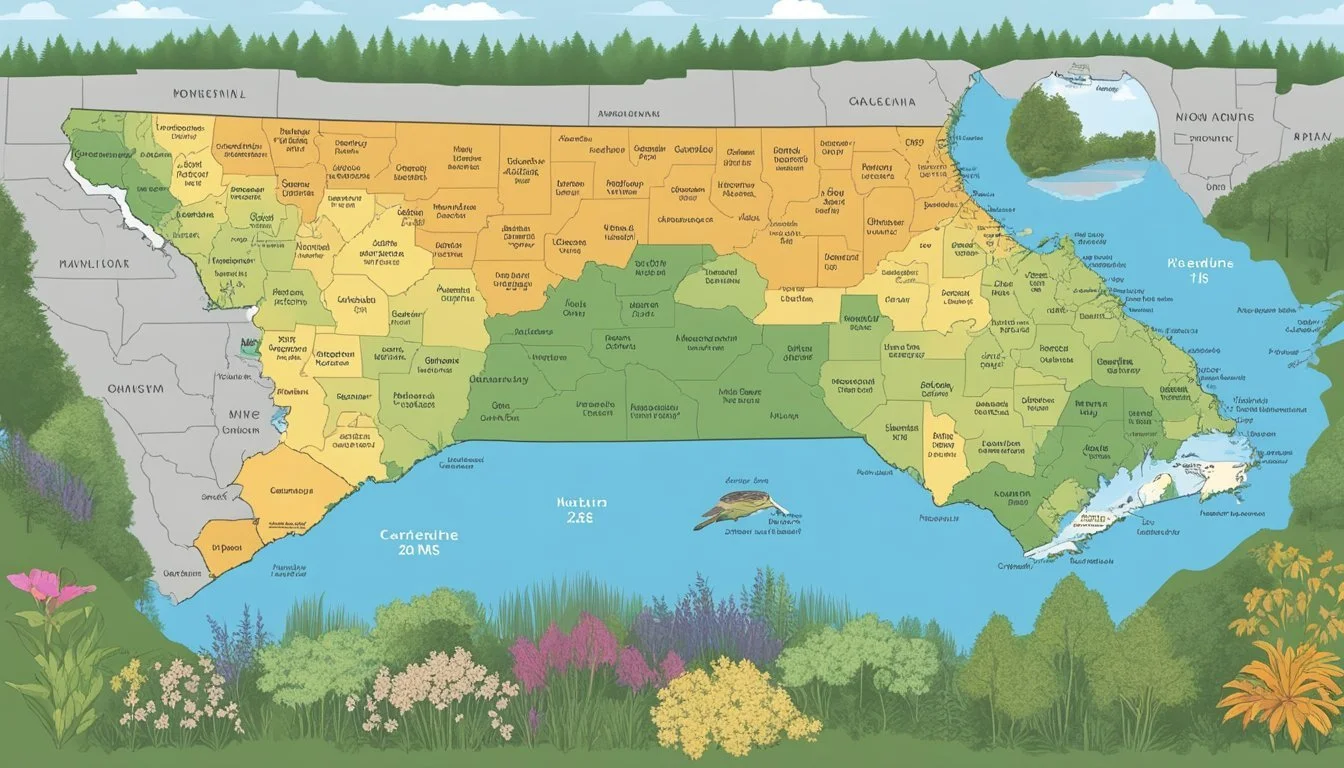
In North Carolina, the USDA Hardiness Zones range from the cooler mountain regions to the warmer coastal areas, presenting a variety of gardening and growing opportunities. Each zone is delineated in a 10-degree Fahrenheit range and further sub-divided into 5-degree Fahrenheit half-zones, providing a nuanced look at the gardening landscape. The map's precision assists local horticulturists in making informed decisions about planting timelines and plant selection, ensuring that chosen species are compatible with the regional climate.
Understanding USDA Hardiness Zones
The USDA Plant Hardiness Zone Map serves as a crucial guide for gardeners, providing insights into which perennial plants are expected to thrive in specific locations. This map categorizes regions based on the average annual extreme minimum winter temperature, presenting a clearer picture of the local climate's effect on plant survivability.
Hardiness Zones: These are delineated areas on the map indicating the requisite growing climates for different plants. Each zone represents a 10-degree Fahrenheit segment of average minimum temperature experienced in that region.
Here is the tabulated temperature range for reference:
Hardiness Zone: Zone 1
Temperature Range (°F): Below -50
Hardiness Zone: Zone 2
Temperature Range (°F): -50 to -40
Hardiness Zone: Zone 3
Temperature Range (°F): -40 to -30
Hardiness Zone: Zone 4
Temperature Range (°F): -30 to -20
Hardiness Zone: Zone 5
Temperature Range (°F): -20 to -10
Hardiness Zone: Zone 6
Temperature Range (°F): -10 to 0
Hardiness Zone: Zone 7
Temperature Range (°F): 0 to 10
Hardiness Zone: Zone 8
Temperature Range (°F): 10 to 20
Hardiness Zone: Zone 9
Temperature Range (°F): 20 to 30
Hardiness Zone: Zone 10
Temperature Range (°F): 30 to 40
Hardiness Zone: Zone 11
Temperature Range (°F): Above 40
North Carolina, for example, encompasses multiple zones ranging from 6 to 8, a testament to the state's diverse climatic regions. This range from the cooler Appalachian mountain areas to the milder coastal plains significantly affects local gardening strategies.
The Hardiness Zone Map is under constant review and receives updates to reflect changing climate patterns. When examining this map, one can discern a location's anticipated coldest environment, aiding in the selection of perennials most likely to endure the winter months.
Access to updated map data and a more granular view of hardiness zones can be attained via USDA Plant Hardiness Zone Map. It's recommended for individuals to consider these zones when planning their gardens, as they indicate the expected robustness of plants against local winter extremes.
North Carolina Climate Overview

The climate in North Carolina is influenced by its geographic diversity, ranging from the Atlantic coast to the Appalachian Mountains, leading to varied weather patterns and seasonal changes.
Seasonal Variation
North Carolina experiences four distinct seasons. Winters are generally mild with colder temperatures in the mountain regions, where snowfall can be significant. In contrast, the coastal areas see milder winter temperatures. Summers are warm and humid across the state, with high temperatures influenced by elevation and proximity to large bodies of water like lakes. Spring and fall are transitional seasons with generally mild temperatures and less humidity.
Geographic Factors
The state's geography plays a critical role in its climate conditions. Elevation is a crucial factor, as higher altitudes in the Appalachian Mountains exhibit cooler temperatures year-round. Cities within mountain valleys can have unique microclimates, distinct from surrounding areas. Meanwhile, coastal and plain regions are subject to higher temperatures and humidity. The presence of roads and urban development also contributes to localized climate variations, sometimes leading to urban heat islands.
Climate Change Impact
Climate change is affecting North Carolina with trends showing overall average temperatures on the rise. Increased temperatures have led to a longer growing season but also contribute to more frequent and intense weather events. Projections indicate potential for future variations in weather, including more severe storms and droughts. Experts analyze data from weather stations to track these changes, utilizing weather data to predict impacts on local environments, such as the influence on fall foliage timing in mountain areas.
Zones and Gardening in North Carolina
North Carolina's varied climate makes it a unique place for gardening, where understanding the USDA Hardiness Zones is crucial for plant selection and cultivation. The state features zones from 6a to 8a, each with specific temperature ranges to consider.
Mapping the Zones
GIS technology has significantly improved the accuracy of the USDA Hardiness Zone Map. The map, accessible via an interactive GIS-based map, allows gardeners in North Carolina to pinpoint their exact hardiness zone. These zones are delineated by the average annual extreme minimum temperatures. For instance, in North Carolina, zone 6a experiences minimum temperatures as low as -10 to -5°F, while zone 8a has milder winters with lows of 10 to 15°F.
Plant Selection and Cultivation
When cultivating a garden in North Carolina, selecting plants compatible with the local hardiness zone is vital. For instance, perennial plants, trees, and shrubs that thrive in zone 7b may not withstand the colder temperatures of zone 6b without adequate protection. Nurseries across the state provide valuable resources and a wide variety of plants suited for North Carolina's plant hardiness zones. Gardeners should consult the state-specific hardiness zone map as a guide to what may grow best in their area.
Utilizing the USDA Zone Information

The USDA Hardiness Zone Map is structured into 13 zones and assists a wide range of individuals from gardeners to researchers in informed decision-making regarding plant cultivation.
For Gardeners and Landscapers
Gardeners and landscapers frequently consult the USDA Hardiness Zone Map to determine the most appropriate plants for their area. By using their zip code, individuals can identify their specific hardiness zone, which informs them about the average minimum winter temperatures. For instance, gardeners in North Carolina may discover that they are in zone 8b, where they can plant species that are suited to this climate range.
Light Requirements: In addition to temperature, the map can aid in understanding the light requirements for various plants, which is crucial for a thriving garden.
National Use: Although most commonly applied to the contiguous states, the USDA zone info is also relevant in Alaska, Puerto Rico, and other U.S. territories.
For Agricultural and Research Purposes
The USDA Hardiness Zone Map is a vital tool for the U.S. Department of Agriculture's Agricultural Research Service and other research entities. It provides a foundational dataset for studying and predicting horticultural trends.
Prediction and Planning: Agricultural organizations utilize the map to predict crop success, plan planting schedules, and advise on crop insurance decisions.
Research: Institutions like Oregon State University may leverage this detailed climate zone data to advance the fields of botany and horticulture.
The map’s widespread adoption highlights its role as an accurate resource for national planting strategies, allowing both personal gardens and large-scale agricultural operations to flourish.
Resources and Tools

Gardeners and agricultural professionals seeking to make informed decisions about plant suitability in North Carolina may take advantage of various resources and tools designed to provide nuanced climate data and hardiness zone information.
Online Maps and Information
The primary resource for understanding plant hardiness zones is the USDA Plant Hardiness Zone Map. A fine-grained interactive GIS-based map allows users to zoom in to reveal local hardiness zones with great detail thanks to a broadband internet connection. For North Carolina, an online map provides hardiness zones ranging from zone 5a in the higher elevations to zone 8b in the coastal plains.
Weather and Historical Data Access
Access to detailed weather records and data from weather stations is available for deeper analysis of climate impacts on horticulture and agriculture. The use of GIS (Geographic Information System) has improved access to these records, including past weather records and real-time data, which can be used to track temperature fluctuations and extremes that are integral to understanding the state's regional hardiness classifications.
Advancements in Zone Classification
The New Hardiness Zone Map utilizes GIS for enhanced detail and incorporates elevation and weather data for more precise zone classifications. Advancements in modeling, such as PRISM, a climate mapping model, have led to updates in zones; for instance, updating from zone 7b to zone 8a, reflecting an advance in the capturing of hardiness zone data at a national scale. This detail offers a Fahrenheit-specific understanding which extends from zone 1a to zone 13b, providing valuable insights into plant hardiness decisions.
Practical Application of Hardiness Zones

The USDA Hardiness Zone Map is pivotal for gardeners in North Carolina, offering guidance on plant selection and care based on the region's climate characteristics.
Garden Planning and Maintenance
Gardeners utilize the USDA Hardiness Zone Map to select plants that have the best chance of thriving in their specific location. For example, knowing that an area falls within Zone 6b, where winter temperatures can dip down to -5°F, underscores the need for cold-hardy plants. These zone designations assist in planning gardens with the knowledge that certain plants may require protective measures, such as mulching before the onset of fall.
Weather Records: By consulting historical weather data from weather stations, gardeners gain insight into the pattern of minimum winter temperatures, aiding in the preparation for plant survival.
Zip Code: The refined scale of the updated USDA Hardiness Zone Map can now provide detail down to the zip code, enhancing plant care strategies.
Understanding Microclimates
Microclimates have a significant effect on gardening within a given hardiness zone. They are specific areas where the climate differs from the surrounding region due to factors such as light, elevation, or proximity to bodies of water.
Zone 6a and 6b: A garden located in a sheltered urban area within Zone 6b may actually experience conditions similar to a warmer Zone 6a, extending its planting options.
Fall Planting: Recognition of microclimates allows for adjustments in fall planting schedules, effectively leveraging areas where the early cold is less severe.
By understanding both the broad strokes of the USDA Hardiness Zone Map and the nuanced influences of microclimates, North Carolina gardeners can tailor their garden planning and maintenance to the specific requirements of their local environment.
Frequently Asked Questions
Understanding the USDA hardiness zones is crucial for gardeners and farmers to select the right plants for their location. These zones are determined by analyzing climate data and reflect the area's average minimum temperature.
How can I determine the USDA hardiness zone for a specific zip code in North Carolina?
One can find the USDA hardiness zone for any specific zip code in North Carolina by utilizing the Climate Voyager tool provided by the North Carolina State University. This tool leverages updated climatological information to give accurate zoning information.
What are the different USDA hardiness zones found across North Carolina?
North Carolina features a variety of USDA hardiness zones ranging from Zone 5 to Zone 8, reflecting the diverse climatic conditions from the mountains to the coast. The N.C. Cooperative Extension site offers information about these variations across the state.
Where can I find a map of North Carolina's planting zones?
A detailed map that displays North Carolina's planting zones can be found on the official USDA Plant Hardiness Zone Map website, which is based on extensive climate data and is the standard for gardeners and growers.
Which plants are suitable for Zone 7 in North Carolina?
In North Carolina's USDA Hardiness Zone 7, a wide range of plants, such as the Carolina Jessamine, Eastern Redbud, and various types of ferns and grasses, are suitable. Select plants that thrive in the yearly average low temperature range of 0°F to 10°F, conducive for Zone 7.
How do the USDA hardiness zones in North Carolina vary with elevation?
As elevation increases in North Carolina, the hardiness zones tend to be cooler. This means higher locations generally have lower zone numbers, indicating they have colder average minimum temperatures. The USDA zones can change with significant topographical variation.
What is the range of temperatures associated with North Carolina's hardiness zones?
North Carolina's hardiness zones span a range of temperatures with the lowest zones experiencing winter lows down to -10 degrees Fahrenheit and the warmest zones experiencing lows rarely below 20 degrees Fahrenheit. For detailed temperature ranges, one can refer to resources like Gardening Know How.
