
Free Alabama Land
How to Acquire Your Parcel Legally and Efficiently
This Article is Part of Our Guide on Finding Homesteading Land for Free in the United States

Alabama has a diverse array of land opportunities for prospective buyers and investors. With its rich Southern heritage, expansive agricultural lands, and growing urban centers, Alabama offers various avenues for acquiring land. While the notion of 'free land' is more historical than contemporary, there are cases where land incentives or programs may significantly reduce the cost of acquiring land in certain areas, making it an attractive proposition for those looking to build or expand their footprint in the state.
The search for land in Alabama may lead to resources that provide detailed information about ownership, deed records, mortgages, titles, tax assessments, and valuations. Access to these types of records is essential for any potential land transaction. They help ascertain the legitimacy of the land title and understand any financial obligations that may come with land ownership. In some instances, rural or underdeveloped areas may offer land incentives to encourage development, but such opportunities are often bound by specific requirements, such as building a home within a certain time frame or adhering to local design standards.
History of Alabama Land Acquisition
The acquisition of land in Alabama has been guided by both Federal policies and state-specific regulations. This section explores the historical context of land records and policies, tracing the evolution of land ownership from early settlements to modern acquisition practices.
Early Settlements and Land Records
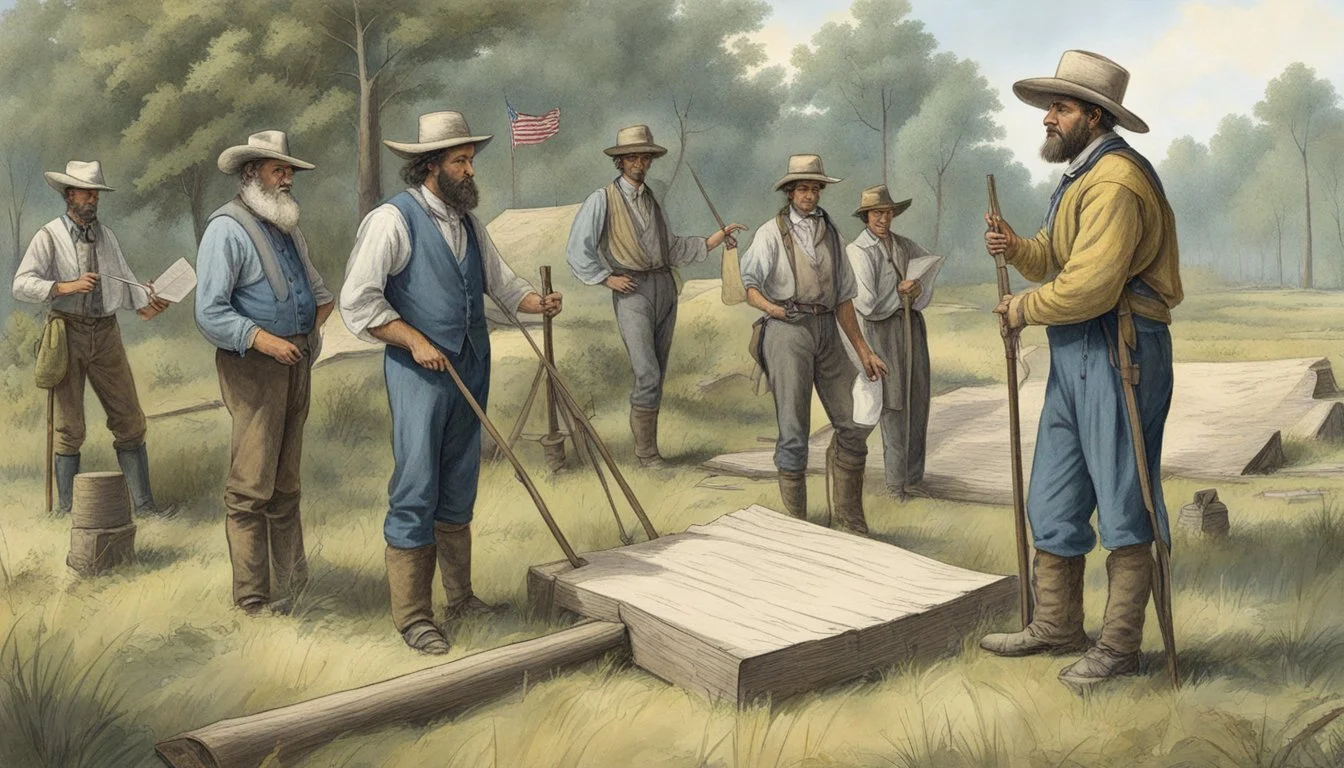
Early land records in Alabama are pivotal for understanding the settlement patterns and the foundation of property ownership in the state. From 1806, the federal government began selling land, and these transactions are chronicled in the land records. These records include patents, which are documents that transfer land ownership from the government to individuals, and tract books that detail the location and description of land parcels. Land entry case files provide information on the transaction history and the individuals involved. County land records also offer a granular view of land distribution and ownership changes over time. Initially part of Georgia, Alabama's land was shaped through the migration and eventual settlement by European settlers and others, substantially influencing the region's demographic and cultural landscape.
Alabama's Land Policies Over the Years
Alabama's land policies have been critical in shaping its development. Following its separation from Georgia and formation as a territory in 1817, and as a state in 1819, Alabama adopted practices that facilitated land distribution and ownership. Federal land grants initially divided the territory into townships, large six-mile-square blocks, which were then subdivided into 36 one-mile-square sections. These lands were often granted to individuals as rewards for military service or sold to pioneers under various preemption acts, stimulating settlement. Over the years, policies and laws have adapted, influencing how land is accessed and managed. For instance, the Choctaw Lands Allotment East of the Mississippi River between 1837 and 1906 reflects policies specific to this period, which affected Native American lands and their subsequent allotment to settlers. These dynamics underscore how changing land policies in Alabama have woven into the fabric of the state's development, economy, and patterns of settlement.
Understanding Land Ownership in Alabama

Land ownership in Alabama is documented and defined through legal descriptions, the township and range system, and county property records. These elements are fundamental for accurate, lawful possession and transactions of land within the state.
Legal Description of Land
A legal description of land in Alabama provides an exact way of describing a property's location that is recognized by law. This description includes the name of the property owner, precise boundaries, and any relevant features. It is a critical component of deeds and other legal documents to ensure clarity in land transactions.
Township and Range System
The Township and Range system is a method used to describe the location of land in Alabama. Here is how the system breaks down:
Township: A township refers to the north-south measurement from a specific baseline and is typically six miles square, comprising 36 square miles.
Range: A range is the east-west measurement from a designated meridian and is also six miles in width.
Each township is further divided into 36 sections, each typically one square mile, or 640 acres.
Counties and Property Records
Alabama is divided into multiple counties, each of which maintains property records that are essential for land transactions. These records provide detailed histories of land ownership and include instruments such as deeds, mortgages, and tax assessments. They are a vital resource for determining property boundaries, ownership history, and valuation for taxation purposes. For example:
Property Records by County: Specific departments within each county oversee property records, offering access to information on land ownership and assessments.
Property records can be instrumental in resolving legal issues, such as those relating to heirs’ property, ensuring landowners in Alabama take the necessary steps to protect their land.
Guide to Acquiring Free Land in Alabama

Acquiring free land in Alabama involves meeting specific eligibility criteria and navigating through an application process. Below is a detailed guide on securing such land, focusing on established programs and potential land sources.
Eligibility and Application Process
Individuals interested in acquiring free land in Alabama must first ensure they meet the eligibility requirements set out by the program or entity offering the land. Typically, these include being a U.S. citizen, having no outstanding debts with government agencies, and the ability to comply with the land use regulations of the offering entity.
The application process generally requires:
Researching available land through the Bureau of Land Management (BLM), county offices, or local municipalities offering land incentives.
Submitting a formal application, which may include a detailed plan for the use of the land and a commitment to adhere to specific development timelines.
Acquiring necessary permits and meeting any County or Code of Ordinances (COA) building requirements, when applicable.
Documentation to consider preparing includes:
Proof of U.S. citizenship or legal residency
Financial statements or proof of funds
A business or development plan, if required
Potential Sources of Free Land
Alabama's Forever Wild Land Trust (FWLT) has facilitated public access to tracts of land for various uses, including recreation and conservation. While not typically "free" for private ownership, it offers the public use of protected land. For individuals seeking private land ownership:
Local Municipality Programs: Some municipalities may offer free land for residential or commercial development, subject to specific development agreements.
Rural Development Initiatives: On occasion, rural areas seeking to attract residents or boost local economies may offer land incentives.
To explore these opportunities, one should reach out to:
Local County Offices: They sometimes have programs or knowledge of current land incentives.
Book publications or websites with listings of available free or low-cost land in Alabama.
The Role of Local and Federal Agencies
In managing Alabama's free land, local and federal agencies play distinct yet collaborative roles. These entities ensure land is utilized effectively and sustainably, balancing ecological, economic, and social objectives.
Bureau of Land Management's Involvement
The Bureau of Land Management (BLM) oversees federal land and maintains a commitment to the stewardship of public resources. It is responsible for a wide array of tasks, including the management of public lands, issuance of leases, and the safeguarding of natural habitats. The BLM ensures that activities on federal lands, which comprise a significant portion of the state, are conducted in accordance with national environmental policies.
Land Records: The BLM maintains meticulous records of all land parcels under its control, providing transparency and information accessibility to the public.
County Offices and Their Services
County offices serve as localized hubs for the administration of land-related services. They offer assistance and information to residents and potential landowners on land availability, zoning regulations, and permits. Moreover, their role extends to maintaining up-to-date land records which are vital for property transactions and legal purposes.
Land Records: Through the offices, counties maintain detailed and accessible land records important for governance and private use.
Services Offered:
Zoning and permitting guidance
Information on local land use policies
Maintenance of up-to-date property databases
Land Conservation and Wildlife Management
Alabama demonstrates a strong commitment to land conservation and wildlife management through various programs. These initiatives aim to preserve the state's natural heritage and biodiversity.
Conservation Programs in Alabama
Alabama’s conservation efforts are spearheaded by the Forever Wild Land Trust (FWLT), established by a constitutional amendment in 1992. The FWLT has successfully secured over 284,000 acres of land for public use, focusing on conservation and recreation. This represents 3.66 percent of the state's conservation lands, illustrating a continued effort to expand and protect natural habitats.
Key features of the state's conservation efforts include:
Forever Wild Land Trust: Preserves land for recreation and conservation.
Public Fishing Lakes: Offers designated areas for fishing, promoting sustainable use of aquatic resources.
State Parks: Provides areas for various outdoor activities, integrating conservation with public enjoyment.
Wildlife Protection and Land Use
Alabama's approach to wildlife management is multifaceted, combining habitat conservation with regulated land use. The state's Wildlife Management Areas (WMAs) are a testament to this, where road closures are strategically implemented to reduce disturbances during critical periods for wildlife, such as nesting or caring for offspring.
Managed lands adhere to a set of practices that serve to protect wildlife populations:
Habitat Conservation: Many land areas are managed to create healthy ecosystems suitable for local wildlife.
Regulated Use: Certain activities in WMAs are limited or prohibited during specific times to minimize the impact on wildlife.
Through these concerted efforts in land conservation and wildlife management, Alabama works diligently to safeguard its natural landscapes and the various species that call them home, thereby ensuring that these resources are available for future generations.
Navigating Maps and Land Resources

Navigating the landscape of Alabama's land resources can be streamlined by leveraging online records and detailed maps. These tools are vital for land identification and provide a wealth of information for public use.
Accessing Alabama Land Records Online
The Alabama Department of Conservation and Natural Resources provides interactive maps that detail state-owned properties, including Wildlife Management Areas, State Parks, and other designated lands. Various online portals are available:
State Lands Division: For comprehensive information on state properties.
Forever Wild Land Trust (FWLT): Details on lands secured for public use, with more than 284,000 acres.
Land Resource Information Center (LRIC): Offers a platform for property searches within Alabama, strictly for authorized users.
To access these records, users can visit the official state websites or FWLT’s website. The information is typically available for public use, though certain data may be restricted to authorized parties.
Using Maps for Land Identification
Effective land identification relies on accurate mapping tools. Alabama provides several resources for this purpose:
Alabama’s Geospatial Office: Distributes the Public Land Survey System (PLSS) map developed from the USGS topographical data.
Regrid: A comprehensive resource for land parcel coverage in the United States, including Alabama. It offers property boundaries, ownership information, and building details.
Land identification entails reviewing cadastral maps which show property lines and details. Users can find maps including Alabama’s PLSS grid, which provides a helpful framework for understanding specific land parcels in terms of township, range, and section.
Specific County Land Information
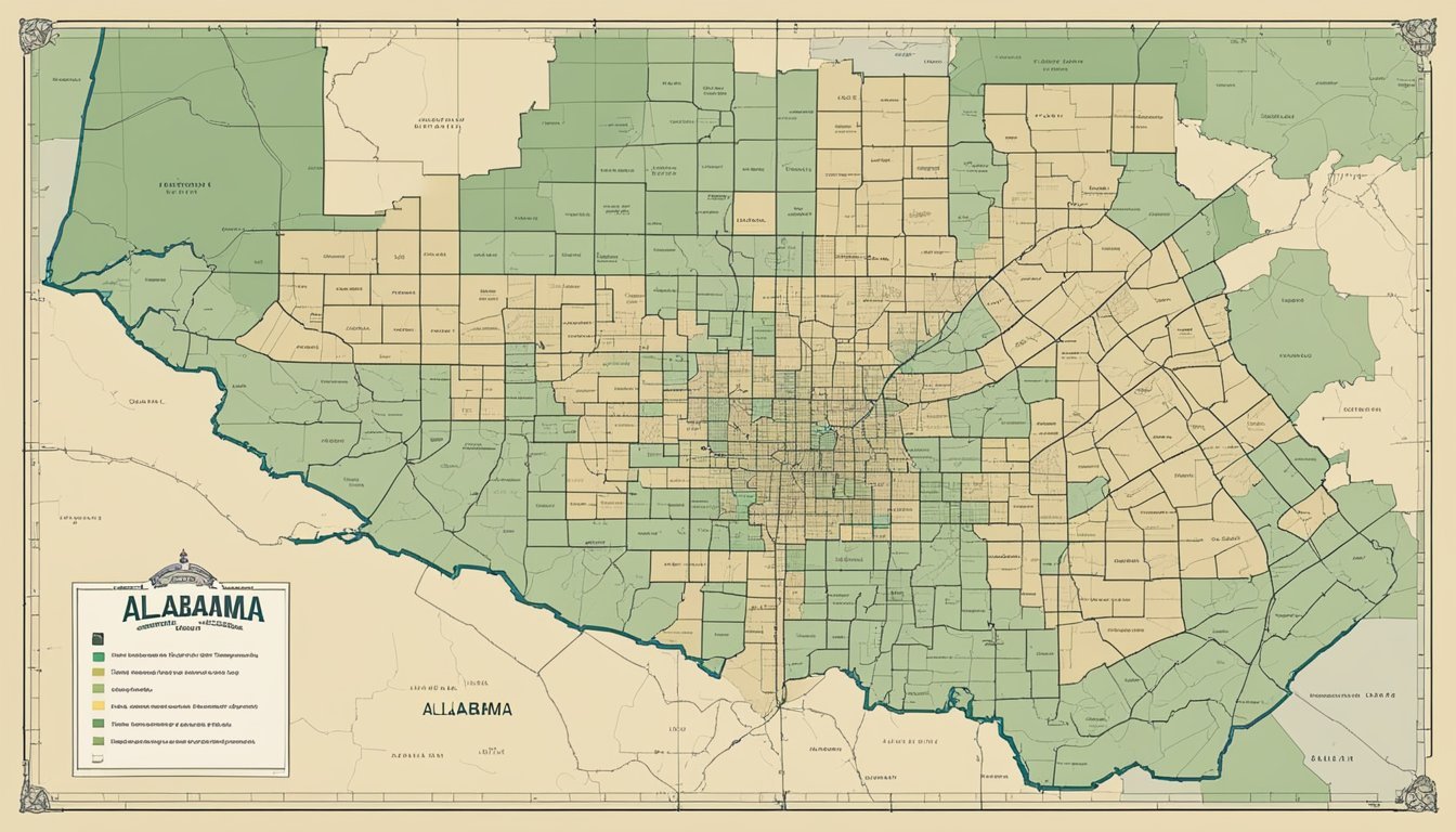
In the state of Alabama, each county provides unique opportunities and policies regarding land. The following subsections offer specific insights into land availability, history, and local regulations for selected counties.
Autauga County: Land Availability and History
Autauga County offers a rich blend of historical sites and available land for residential and agricultural use. Land records here can trace property ownership and transfers, providing a clear picture of how the land has evolved over time.
Baldwin and Blount Counties: Opportunities and Characteristics
Baldwin County is known for its scenic coastal properties and growing real estate market, while Blount County is characterized by its rural landscapes and outdoor recreational spaces. Both counties offer diverse land options for potential buyers and investors.
Baldwin County:
Coastal real estate opportunities
Rapid growth in market demand
Blount County:
Abundance of outdoor amenities
Ideal for rural and agricultural use
Butler and Calhoun Counties: Local Land Policies
Local land policies in Butler County are designed to maintain its rural charm and agricultural heritage. Conversely, Calhoun County provides urban and suburban land policies that cater to a mix of residential and commercial development.
Butler County:
Emphasis on agricultural preservation
Rural development guidelines
Calhoun County:
Mixed-use development support
Urban growth initiatives
Chambers and Clay Counties: Community Land Resources
Chambers County balances industrial growth with community land resources, offering a supportive environment for industry and residential life. Clay County focuses on protecting its natural landscapes, with policies that encourage sustainable land use and conservation efforts.
Chambers County:
Industrial and residential land balance
Community-centered land use
Clay County:
Strong conservation policies
Promotion of sustainable practices
Final Considerations for Land Acquisition

When acquiring land in Alabama, it's critical to understand the nuances of the financial and legal frameworks, as well as the prospective land use and development plans that can impact the success of the transaction.
Financial and Legal Implications
The financial and legal aspects of land acquisition in Alabama are complex and require careful scrutiny. Prospective buyers must consider both the costs associated with the purchase and the long-term financial obligations like taxes and maintenance. A clear understanding of the Property Identification Number (PIN) and legal description of the land is essential as these details uniquely identify the property and are used in all legal transactions.
Property Identification Number (PIN): Ensure the PIN is accurate to avoid legal and financial complications.
Legal Description: The legal description must be precise; discrepancies can lead to disputes and may necessitate legal intervention.
Prospective Development and Land Use Plans
Before completing a land acquisition, it's crucial to examine local zoning laws and future land use plans as they dictate permissible activities and developments. Prospective owners should consider how their intended use aligns with these regulations and any development restrictions that may be in place.
Zoning: Confirm that the property's zoning aligns with the intended use.
Future Development: Investigate any planned projects or environmental protections that could affect future land use.
By attentively considering these factors, buyers can endeavor to ensure that their land acquisition aligns with long-term goals while minimizing potential legal and financial risks.
Conclusion

In summary, certain cities in Alabama are providing a unique opportunity for individuals seeking to build in a rural area by offering free land. With plots that typically span around 2 acres and come equipped with essential utilities such as water, sewer, and electricity, they represent a significant value. The lots are estimated at approximately $15,000 each, highlighting the affordability of rural living initiatives in Alabama.
The state has a history of land-related developments, reflected in the transformation of farmland values over the years. In the 1970s, farmland was priced at $200 an acre, escalating to $3,100 an acre by 2007. Such trends demonstrate land's enduring appeal as a stable investment in Alabama's economy.
Alabama is also characterized by liberal land-use policies, promoting freedom in property usage that benefits residents. Its stance on tobacco-related freedoms and educational improvements via tax credit scholarship programs showcases a broader commitment to preserving and enhancing personal liberties within the state, including those related to land ownership.
Given these factors, Alabama's approach to land distribution and usage reflects a commitment to not just attracting new residents to its rural areas but also fostering an environment where people have the autonomy to utilize their property to its fullest potential. The state's initiatives are emblematic of an area ripe for development, offering both economic value and personal freedom.
