
Free Idaho Land
How to Secure Your Homestead Without Cost
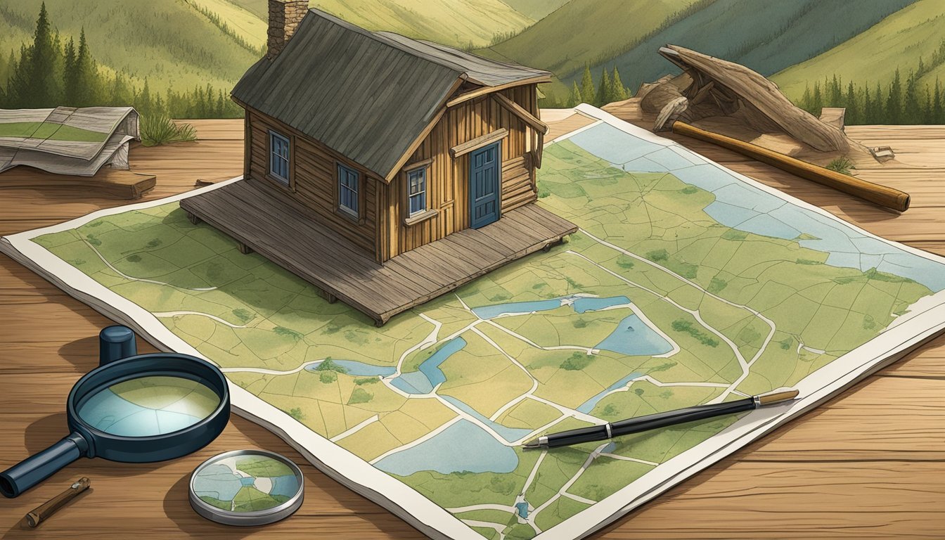
This Article is Part of Our Guide on Finding Homesteading Land for Free in the United States

The concept of free land might seem like a remnant of the Homestead Act era, but it still exists in modern America, particularly in states like Idaho seeking to attract new residents and boost local development. Idaho, known for its rugged landscapes and outdoor recreation opportunities, occasionally features programs offering land at no cost to individuals willing to comply with certain conditions, such as building a home within a specified timeframe or contributing to the community's growth. These initiatives are typically launched in less populated areas where increasing the number of residents is a priority.
The availability of free land in Idaho is not a statewide policy, but rather specific to certain towns or regions looking to attract a particular demographic, like young families or retirees, to enhance the local economy and community life. People interested in such opportunities need to thoroughly research, understand the requirements, and weigh the long-term commitments that come with such offers. It's essential to note that free land programs may include additional costs for utilities, property taxes, and any construction required, making it a decision that warrants careful financial consideration.
Idaho's real estate landscape also includes unrestricted and undeveloped land for purchase. While these properties are not free, they offer fewer limitations on the use of the land, which can be appealing to those seeking a more autonomous lifestyle. With a variety of land options available, from residential plots in developing neighborhoods to expansive rural acreages, Idaho presents a unique market for potential landowners with diverse needs and goals.
Understanding Idaho Land

Exploring the history and physical landscape of Idaho reveals the state's strategic use of endowment lands to support public services and highlights its diverse geography.
History of Idaho Land
Idaho became a state in 1890, and as part of its statehood, it was granted significant parcels of land by the federal government, known as endowment lands. These lands were specifically intended to support public institutions, including schools. The Idaho Department of Lands (IDL) is tasked with managing these lands, which are different from other public lands due to their mandate to generate revenue.
Over the years, the revenue from these endowment lands has been instrumental in funding educational institutions and reducing tax burdens for Idaho residents. The IDL continually oversees these lands, ensuring they are used effectively to support the state's public services, a strategy that stretches back to Idaho's early days as a state.
Idaho's Geography and Area
Location: Northwestern region of the United States
Total Area: Approximately 83,570 square miles
Idaho boasts a diverse geographical landscape, ranging from the Rocky Mountains to river plains. The state's area includes nearly 2.4 million acres of endowment land accessible to the public, providing ample opportunities for various recreational activities.
The state's geography is not only pivotal for recreation but also for the endowment lands which are utilized to generate financial support for beneficiaries. These purposely managed lands reflect Idaho's commitment to harnessing its geography for economic and public benefit.
Endowment Lands in Idaho
Endowment lands in Idaho are a significant source of revenue for the state's public institutions, managed by the Idaho Department of Lands (IDL). These lands encompass a variety of uses, including recreation and resource extraction.
Endowment Land Recreation Access
Idaho's endowment lands provide expansive opportunities for outdoor activities. Over 96% of these lands are accessible for recreation by foot, watercraft, or motor vehicle. The IDL supports public use of endowment lands for activities like hunting, fishing, hiking, and camping. Notably, 2.4 million acres are available for such recreational purposes. There are approximately 183 miles of designated and signed trails, actively managed to balance both leisure and conservation objectives.
Surface and Mineral Ownership
Ownership of Idaho endowment lands is oftentimes dual in nature, involving both surface and subsurface rights. The IDL manages these aspects to maximize revenue generation while adhering to state policies.
Surface Ownership: Utilized for timber sales, grazing leases, and sometimes for land exchanges with federal lands to enhance the land's value and income potential.
Mineral Ownership: The IDL also oversees mineral rights on endowment lands, which can include leasing for activities such as mining, ensuring that any exploitation of mineral resources benefits the state's endowment fund.
All state land ownership in Idaho, including both surface and mineral rights, is designed to work in the state's best interest, with a core purpose of financially supporting public schools, universities, and state hospitals.
Leasing Opportunities in Idaho

Idaho offers various leasing opportunities for individuals, companies, and government agencies on its state endowment lands. Specific procedures and types must be followed and understood when seeking a lease.
Inquiries and Applications
Individuals interested in leasing state endowment lands must approach the Idaho Department of Lands (IDL) and use the IDL customer portal to initiate inquiries. Prospective lessees are required to submit an application, and they can access the land records application/access system for detailed information on available leases. The system is interactive, facilitating searches and providing relevant details on open applications, expiring leases, and upcoming public auctions.
Types of Leases Available
Idaho endowment lands comprise approximately 2.5 million acres available for leasing, with offerings tailored to various uses. The leases are designed to generate revenue, a portion of which benefits Idaho's public institutions, such as schools. Lease types on offer include:
Residential: Starting January 1, 2025, residential leasing will follow the guidelines set by the 2025 Residential Cottage Site Leasing Plan, approved by the State Board of Land Commissioners.
Commercial and Agricultural: Additional details pertaining to these leases can be found on the IDL website or by inquiring through the customer portal.
The IDL is committed to managing these lands in a way that maximizes their long-term value, both for economic and public interest.
GIS in Idaho Land Management

Geospatial Information Systems (GIS) is integral to Idaho land management, facilitating data-driven decision-making and providing the public with transparent access to land records.
GIS Projects and Achievements
The Idaho Department of Lands (IDL) and its GIS professionals have worked on numerous projects that leverage spatial datasets to support the stewardship of endowment land. Their mission emphasizes the use of GIS to manage real property effectively. Notably, in 2020, the IDL earned the Esri Special Achievement in GIS Award, recognizing their innovative application of mapping and analytics technology.
GIS Data and Applications
IDL’s GIS Data Hub serves as a geoportal where users can find a wide array of spatial datasets and land records. The comprehensive applications developed by the IDL GIS team include interactive tools for both conducting GIS projects and publishing GIS maps. These efforts ensure management decisions are well-informed by accurate and current geospatial data.
Access to GIS Resources
The Department has shown a commitment to providing easy access to GIS resources. They maintain an online land records application that enables public and transparent access to Idaho's endowment assets information. The focus of the GIS team is not only on building and maintaining datasets but also on ensuring that these resources are accessible to the public and relevant stakeholders.
Land Ownership and Records
Land ownership and records in Idaho are managed with a strong emphasis on transparency and ease of access for the general public. They are crucial for understanding property boundaries, ownership, and the management of state endowment assets.
Public Access to Land Records
The state of Idaho ensures that land records are publicly accessible, providing crucial information such as property ownership, deed records, tax assessments, and valuations. The general public can access these records through various county offices or through state-managed online portals. Idaho Surface Management Area offices provide contacts and relevant information for individuals seeking details on land ownership. This push for transparency allows for a high degree of public involvement and oversight.
Idaho Surface Management Area Offices and Contacts:
Accessible to the public
Offers detailed land ownership information
Provides guides on how to navigate land records application and access
Endowment Assets and Ownership
The management of Idaho's endowment assets is linked closely to land records. This involves lands that are held in trust for specific beneficiaries, such as public schools. Activity records are meticulously maintained, documenting the services and expertise provided, such as Geographic Information System (GIS) services, spatial analysis, and cartography. These services facilitate the oversight and administration of the endowment assets.
Idaho’s Endowment Assets:
Managed by the state for the benefit of public institutions
Detailed records maintained for transparency and effective governance
GIS and technical services underpin the stewardship of these lands
Other entities, such as rangeland fire protection agencies, also rely on accurate and accessible land records to perform their duties efficiently. These records help manage and protect the state's diverse ecological landscapes, including its rangelands.
Technical Expertise in Land Management

Land management in Idaho leverages diverse technical expertise, focusing on areas such as spatial analysis and GIS mapping to understand and utilize land resources effectively. Trained specialists employ various techniques including remote sensing and cartography to provide comprehensive insight into land administration.
Spatial Analysis and Cartography
In Idaho, specialists with expertise in Geographic Information Systems (GIS) employ spatial analysis to interpret land data efficiently. This analysis assists in:
Identifying land patterns: To detect changes and trends over time.
Mapping: For visual representation of land features.
Cartography complements spatial analysis by translating complex data into understandable maps, which guide land decision-making processes. The technical fields of GIS and cartography require precise understanding to ensure accuracy in land assessments and planning.
Remote Sensing and Aerial Photography
Remote Sensing technology captures data about the Earth's surface through satellite or high-flying aircraft. This technology is critical for:
Monitoring land changes: Detecting alterations in land use or vegetation.
Resource management: Assessing natural resources for conservation efforts.
Aerial Photography, as a subsection of remote sensing, provides detailed images that support a range of technical fields such as urban planning and disaster management. These photos yield invaluable insights into land topography and habitat health. Remote sensing and aerial photography provide the expertise necessary to implement effective land management strategies in Idaho.
