
USDA Hardiness Zones in Idaho
Navigating the Growing Conditions
Understanding the USDA Hardiness Zones is crucial for gardeners and agriculturists in Idaho, as these zones are a reliable guide for determining the most suitable plants that can thrive in a particular location. The zones are defined by the average annual extreme minimum winter temperature and are subdivided into 10-degree Fahrenheit zones and additional 5-degree Fahrenheit half zones for more precision.

Idaho's diverse climate is reflected in its range of hardiness zones, which affect the planting schedules and plant survivability across the state. With updates to the USDA Plant Hardiness Zone Map, gardeners are better equipped to understand the subtle shifts in climate that influence their gardens. Idaho's hardiness zones range widely, from the colder 2b-45°F to -40°F to the milder 4a-30°F to -25°F regions, indicating the state's variety of growing conditions.
These zones are particularly important as they provide a framework for making informed decisions about planting and crop viability. The recent revisions to the map, incorporating more detailed climatic data, assist agricultural planning by offering an improved understanding of Idaho's growing environments. Gardeners can use this information to optimize their planting strategies and to select plants that have the best chance of success in their specific region of Idaho.
Understanding USDA Hardiness Zones
When planning a garden or landscape in Idaho, understanding the USDA Hardiness Zones is critical for plant survival and growth. These zones provide a standard set by the U.S. Department of Agriculture to help gardeners recognize the most suitable plants for their geographic location.
Definition of Hardiness Zones
USDA Hardiness Zones are geographical areas defined by the average annual extreme minimum temperature. Historically, it has been used to indicate where various perennial plants are likely to thrive year after year. The map divides North America into 11 principal zones, each of which represents a 10-degree Fahrenheit range of minimum temperatures.
Purpose of the USDA Plant Hardiness Zone Map
The main objective of the USDA Plant Hardiness Zone Map is to guide gardeners and growers in making informed decisions about the plants that are most likely to succeed in their specific location. This hardiness information assists in ensuring that plants are well suited for the winter climate they will encounter.
History and Updates of the USDA Hardiness Zone Map
The USDA Plant Hardiness Zone Map has evolved since its inception. In recent years, the 2023 map uses data from a massive number of weather stations and is the first update since 2012. Changes in zones reflect the warming climate and influence planting decisions. Significant updates have been made to relay a more accurate representation of local climates, as seen in the latest USDA Hardiness Zone Map.
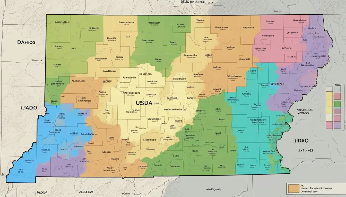
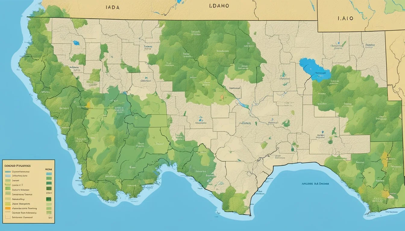
Idaho's Hardiness Zones Overview
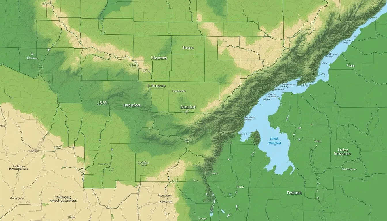
Idaho's variation in climate is captured in its USDA Hardiness Zones which are essential for gardeners and growers. These zones provide a guide for which plants can thrive based on the average annual extreme minimum winter temperatures.
General Hardiness Zones in Idaho
Idaho features a range of hardiness zones, from 2b to 7a. These zones are principally determined by the state's diverse climates. Zones 2b (with extreme winter temperatures between -45°F to -40°F) to 7a (where temperatures range from exact 0°F to 5°F) can be found across the state, influencing planting strategies for local growers.
Variations Across Idaho's Geography
The state's topography greatly influences the hardiness zones and thus the planting zones. Northern cities like Iona and regions such as Malad City experience cooler climate bands, typically ranging in cooler zones like 4a or 4b. In contrast, Ada County, including Boise, has zones such as 7a, reflecting its milder winters. Southern cities like Twin Falls and Idaho Falls vary between these extremes, showcasing the diversity within Idaho's planting zones. These geographically-specific zones support growers in making informed decisions about what to plant and anticipate concerning winter temperatures.
City-Specific Hardiness Information

The USDA Hardiness Zones are crucial for gardeners and growers to identify which perennial plants will thrive in their locality. This section provides detailed information on plant hardiness zones across different cities in Idaho, helping to inform planting decisions.
Northern Idaho: Sandpoint to Coeur d'Alene
In Northern Idaho, cities such as Sandpoint lie in Zone 6b, with winter temperatures potentially reaching -5°F to 0°F. Coeur d'Alene, also in this northern stretch, shares a similar zone, allowing gardeners to select plants that can withstand these cold conditions.
Central Idaho: Sun Valley to Challis
Moving to Central Idaho, we find Sun Valley in Zone 7a, whereas Challis might experience colder winters, placing it in Zone 6b. Residents can explore a variety of plants that are suitable for these particular temperature ranges.
Southern Idaho: Twin Falls to Pocatello
Down in Southern Idaho, the range extends to zones like 6a for Twin Falls, while Pocatello is slightly colder in Zone 5b. This variation influences the plant selection for the region, with cities such as Buhl, Burley, and Oakley all finding themselves in similar hardiness zones, advising on the ideal conditions for cultivating local flora.
Impact on Gardening and Agriculture
The USDA Hardiness Zones are pivotal in guiding Idaho's gardeners and agricultural professionals in selecting plants suited to local climates. Crucially, these zones influence the survival and productivity of vegetation by defining the extreme minimum winter temperature plants must withstand.
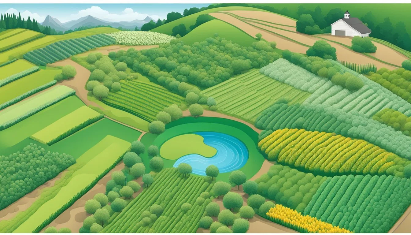
Perennial Plants and Landscaping
In Idaho, gardeners rely heavily on the USDA Hardiness Zone Map to determine suitable perennial plants for their landscapes. Zone 5, with its colder temperatures, requires perennials that can survive harsh winters. Conversely, Zone 6b and Zone 7a embrace a wider variety of perennials due to their milder winter conditions. Landscaping choices are thus greatly affected, with hardy species like the peony thriving in Zone 5, while Zone 7a can support less cold-tolerant plants such as the Japanese Maple.
Annual Crops and Seasonal Planting
The timing of planting annual crops in Idaho's diverse climates is dictated by understanding the local hardiness zone. In colder zones, a garden's growing season is shortened, requiring strategic seasonal planting to ensure crop survival and maximization of yield. Zone 5 might necessitate the use of cold frames or greenhouse starts, while gardens in Zone 7a provide a longer growing period, beneficial for a larger variety of annual vegetables and flowers.
Impact on Local Nurseries and Agriculture
Local nurseries mold their inventories based on hardiness zones to guarantee plant survival. A nursery in Zone 5 typically stocks a range of robust perennials and may offer protective solutions for winter-sensitive species. Agriculture in Idaho is also tailored per zone; for example, vineyards in Zone 6b consider grape varieties carefully to match the local winter temperatures. The focus on appropriate plant selection assists in reducing economic loss caused by winter damage and ensures long-term sustainability of Idaho's green industries.
Interpreting Hardiness Zone Data

Hardiness zone data is crucial in determining the plants best suited for growth in specific regions. By interpreting this data accurately, gardeners can maximize the success of their horticultural efforts.
Data Sources for Hardiness Information
The U.S. Department of Agriculture's (USDA) Agricultural Research Service (ARS) relies on an extensive network of weather stations to collect climate data, primarily focusing on the average annual minimum temperature. This data, collected from 1991 to 2020, forms the basis for the latest hardiness zone maps. Each county and even zip codes can have unique classifications, highlighting not only broad regional trends but also localized microclimates.
Considerations Beyond Hardiness Zones
While the hardiness zone map is a valuable tool, it does not account for all variables affecting plant survival. Soil type and moisture, wind, snow cover, and sun exposure (whether full sun or partial shade) can all alter a plant's ability to thrive. Therefore, interpreting hardiness data requires an assessment of other environmental factors that contribute to or detract from the optimal temperatures needed for plant growth.
Application of Hardiness Zones Data
The interpretation of hardiness zones data is applied by aligning the right plants with the right locations. The data serves as a guide to ensure a proper amount of light and temperature range, but individual gardeners and growers must also consider local conditions. The USDA ARS's comprehensive map allows individuals to input their zip code to find the precise hardiness zone, thus enabling tailored planning for various types of vegetation.
Advanced Topics
In Idaho, understanding the USDA Hardiness Zones is crucial for successful gardening and agriculture. This section delves into the strategic creation of microclimates and the navigation of climate variability to optimize plant growth across the diverse regions of the state.
Creating Microclimates
Gardeners in Arbon Valley or Ashton can enhance their planting possibilities by creating microclimates. This involves manipulating factors like sunlight, moisture, and wind to develop pockets of environment where certain plants can thrive unexpectedly. For instance, using an acequia or irrigation ditch in the drier areas of Owyhee can concentrate moisture and cooler temperatures to generate a small, more temperate zone within a harsher climate.
Sun Traps: Strategic placement of plants near south-facing walls in areas like American Falls can harness additional warmth.
Wind Barriers: In Bern or Athol, constructing hedges or fences can protect delicate plants from harsh winds.
Water Features: Incorporating ponds or streams in Bear Lake can modify local humidity levels.
Adapting to Climate Variability
Recent changes in climate have prompted regions such as Bingham and Blaine to consider adaptive strategies. For example, adjusting planting dates in Camas or selecting varieties in Bonneville that are well-suited for wider temperature ranges can be effective.
Zone Shifting: Some areas, like Picabo, may now fall into a warmer hardiness zone, allowing a broader range of perennials to be cultivated.
Drought-Tolerant Varieties: In more arid zones like Elmore or Oneida, selecting plants that require less water can preemptively address water scarcity.
Protective Measures: Utilizing mulch or row covers in Albion and American Falls can shield plants from variable temperatures.
By understanding and implementing these advanced techniques, Idaho's residents from Power to Reynolds can maximize their agricultural outcomes despite the challenges posed by a changing environment.
Frequently Asked Questions
The USDA Hardiness Zone map is an essential tool for gardeners in Idaho, providing a clear guide for plant selection and landscaping planning.
How is the USDA Hardiness Zone map utilized for gardening in Idaho?
In Idaho, the USDA Hardiness Zone map is employed to ascertain which plants are most likely to thrive in a particular location. It guides gardeners by indicating the coldest temperatures a region can expect, which is crucial for the survival of perennial plants.
Where can I find a detailed planting zone map for Idaho?
A detailed planting zone map for Idaho is accessible on various online platforms, including the USDA Plant Hardiness Zone Map website, which provides an interactive map based on the latest data.
Which USDA zone corresponds to the Boise area for gardening purposes?
The Boise area generally falls into USDA zone 7a, reflecting specific temperature ranges conducive to gardening in this region. This zone indicates the average extreme minimum temperatures Boise experiences.
What are the specific hardiness zones for major cities in Idaho like Idaho Falls and Meridian?
Major cities in Idaho each have their designated zones; Idaho Falls typically falls in zone 4b, while Meridian is in zone 7a. These zones aid in selecting appropriate plants for the local climate.
Can I search for planting zones using a zip code in Idaho?
Yes, individuals can search for planting zones using a zip code in Idaho. The USDA website provides a tool where one can enter their zip code to find the precise hardiness zone for their area.
What are the climatic considerations for gardeners in Pocatello based on its USDA zone?
Gardeners in Pocatello need to consider Pocatello's placement in USDA zone 5b, which suggests how plants may cope with the city's winter temperatures. This influences the selection of plants that can tolerate the average minimum temperature range of -15 to -10 degrees Fahrenheit.
