
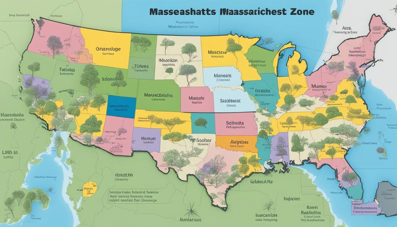
USDA Hardiness Zones in Massachusetts
Navigating the Planting Map

Understanding the USDA Plant Hardiness Zone Map is crucial for gardeners and farmers in Massachusetts, as it guides them in choosing the most suitable plants for their locale. The map, which depicts divisions based on the average annual extreme minimum winter temperatures, has recently been updated to reflect climate trends and provide a more accurate tool for determining plant viability. This revision is the first since 2012, capturing the latest 30-year average of weather patterns, essential for making informed decisions in the horticultural and agricultural industries.
Massachusetts, known for its varied climate, encompasses several USDA hardiness zones. The most recent map delineates the state into specific regions ranging from 5a to 7b. These delineations are vital for understanding which perennial plants can survive and thrive given Massachusetts' winter conditions. Gardeners can now access an interactive 2023 Massachusetts Hardiness Zone Map that provides a detailed view of these zones, offering tailored insights for planting strategies.
The updated map indicates not only a tool for current planting choices but also signals the effects of a warming climate. As Massachusetts experiences warmer weather patterns, the hardiness zones have shifted, allowing for a wider variety of plants to potentially become part of the local landscape. This phenomenon emphasizes the importance of adapting and applying current research to maintain the health and sustainability of local ecosystems.
Understanding USDA Hardiness Zones
To cultivate plants successfully, understanding the USDA Hardiness Zones is crucial as they guide gardeners on what plants can survive the winter in their region. These zones are based on the average annual extreme minimum winter temperature.
The Basis of Plant Hardiness Zones
The primary foundation of plant hardiness zones lies in categorizing regions by the coldest temperatures they can expect each year. The USDA has developed these zones to assist gardeners and growers in making informed planting decisions. Each hardiness zone represents an area where certain plants are capable of growing based on climate conditions, particularly the cold weather thresholds. Simply put, these zones signify the resilience of plants against winter cold.
The USDA Plant Hardiness Zone Map
First published in 1960, the USDA Plant Hardiness Zone Map has been updated periodically with the last major updates occurring in 1990 and 2012. This map divides North America into 13 primary zones, each representing a 10-degree Fahrenheit range in average annual extreme minimum winter temperatures. The map further refines these zones into ‘a’ and ‘b’ subzones, representing 5-degree Fahrenheit differences within that 10-degree range. A broadband internet connection is suggested to access the interactive map which helps individuals determine the specific zone for their locality. The zone numbers increase as the climate warms; for example, Zone 1 indicates the coldest climates, while Zone 13 represents the warmest.
Massachusetts Climate Overview
Massachusetts experiences a range of climate conditions which vary by region and are increasingly influenced by global climate change. The state's average annual extreme minimum temperature has shown warming trends, affecting the low temperatures particularly in fall and winter seasons.
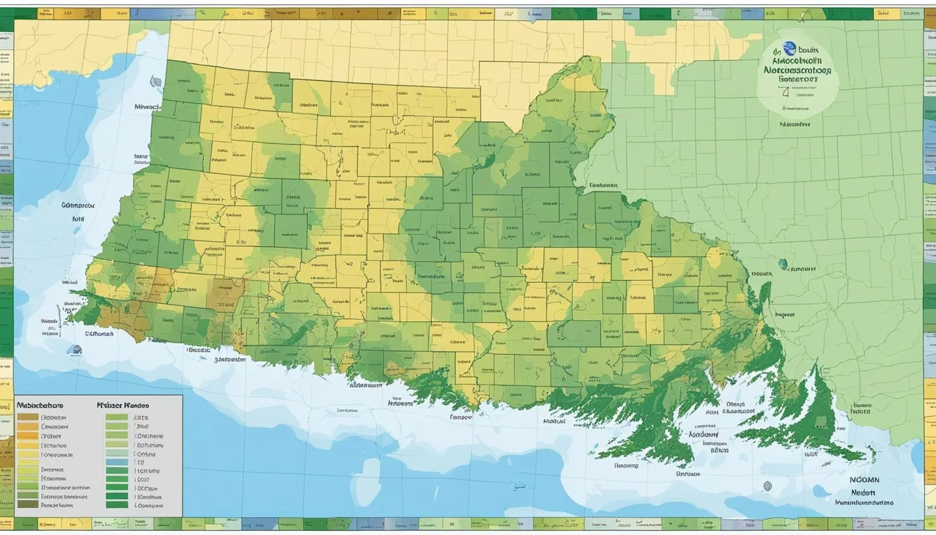
Regional Climate Variations
Massachusetts is characterized by a humid continental climate, with noticeable differences in climate patterns across its regions. The interior regions typically face colder temperatures and more significant snowfall in winter compared to the coastal areas, where the Atlantic Ocean moderates the climate. The state is divided into several USDA hardiness zones, ranging from zone 5a in the western and central parts of the state to zone 7b in some of the coastal regions.
Implications of Global Climate Change
Global climate change has implications for Massachusetts, with a general warming trend being observed. This warming has led to shifts in the USDA hardiness zones, indicating a potential for a broader variety of plants to survive the milder winter lows. These changes could affect the state's agriculture, horticulture, and natural ecosystems, with some species potentially thriving while others may become stressed or displaced.
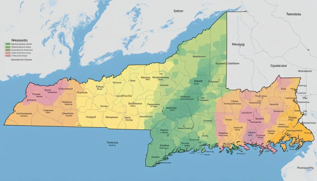
Hardiness Zones in Massachusetts

Massachusetts encompasses a variety of USDA hardiness zones due to its topographical diversity. This state's zones range particularly from 5a in the colder regions to 7b in some coastal areas.
Zone Distribution Across the State
Hardiness zones across Massachusetts demonstrate significant variation. In Berkshire County, colder mountain regions often fall within zone 5a, experiencing winter lows of -20°F to -15°F. Moving eastward, central areas of the state, including Boston, fall within zones 6a and 6b, with minimal winter temperatures ranging from -10°F to -5°F. These zones indicate a milder climate conducive to a wider variety of plant species.
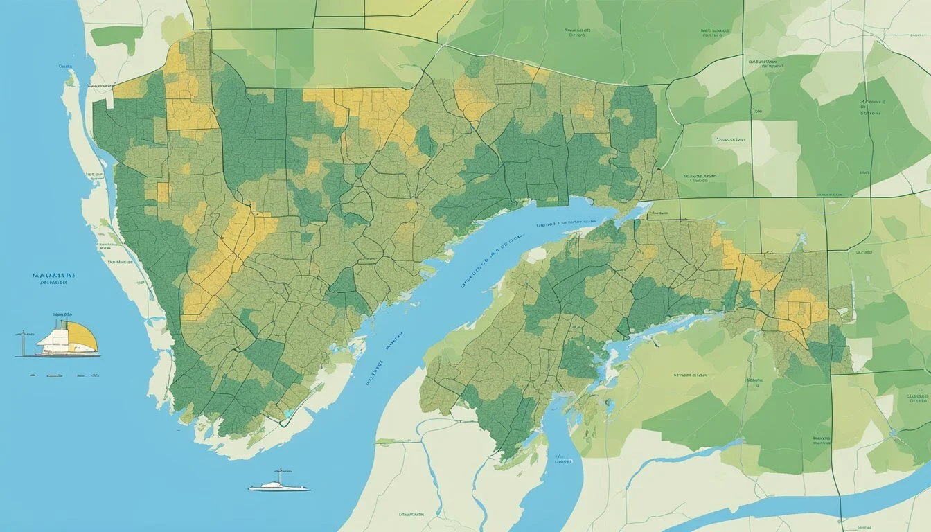
Cape Cod and Islands Specifics
The Cape Cod region and the islands such as Martha's Vineyard and Nantucket lean towards even milder climates. The prevalent zones here are 7a and 7b, where winter temperatures seldom drop below 0°F. The moderating effect of the Atlantic Ocean enables Barnstable County on the Cape to support plant life that cannot survive in colder parts of Massachusetts.
Western Massachusetts Conditions
Western Massachusetts, encompassing Berkshire to Franklin counties, features primarily zones 5b and 6a. This area tends to have cooler temperatures due to its higher elevation and more continental climate compared to the coastal regions. The cold winters place limitations on plant cultivation, with hardy species being a necessity for local gardeners.
Applying the Zone Map to Gardening
Understanding the USDA Plant Hardiness Zone Map is crucial for gardeners in Massachusetts, as it guides the selection of plants likely to thrive in their specific climates. Adherence to this zone information increases the likelihood of gardening success by ensuring appropriate planting choices.
Selecting Plants for Your Zone
Gardeners should consult the most recent USDA released a plant hardiness map to identify their specific hardiness zone, which ranges from 5a to 7b in Massachusetts. This information is imperative when selecting perennial plants, as it directly correlates to the plants’ ability to survive the winter temperatures of the region. Nurseries and plant catalogs often label plants with their appropriate hardiness zone, making it easier for gardeners to make informed decisions.
Recommended steps for selecting plants:
Determine your specific hardiness zone.
Search for plants labeled with your zone number.
Prioritize perennial plants known to thrive in your climate.
Review planting guides provided by nurseries for additional regional advice.
Adjusting for Microclimates and Elevation
The hardiness zone map provides a general framework, but microclimates and elevation can lead to significant variations within a zone. For example, areas with higher elevation in a zone may experience cooler temperatures, necessitating the need for hardier plant selections. Conversely, urban areas might offer warmer microclimates, allowing for a broader variety of plants.
Key considerations for microclimates and elevation:
Observe local temperature variations and adjust plant choices accordingly.
Protect sensitive plants from the effects of unusual cold pockets or high winds.
Utilize natural landscape features to mitigate adverse conditions for less hardy plants.
Engage with local gardening communities to share experiences and knowledge about particular microclimates.
Interactive Tools and Resources
Gardeners and growers have access to several tools that allow for an in-depth understanding of plant hardiness zones, especially through the form of interactive maps. These tools enhance the user's ability to make informed planting decisions based on their specific geographic location.
The Interactive GIS-Based Map
The USDA Plant Hardiness Zone Map provides a detailed representation of the zones through an interactive GIS-based map. This tool allows users to visually navigate the national map, which includes all states from the continental United States to Alaska and Puerto Rico. The map is presented in an interactive format, which contrasts the traditional static images, providing a more comprehensive view of the zones. Users can zoom in and out, exploring regional variations with ease.
Finding Your Zone by Zip Code
For a more personalized search, the USDA provides an online feature where one can find their hardiness zone by inputting a Zip Code. This is available on multiple websites, including specialized gardening sites and state-specific resources such as the one for Massachusetts, highlighted by Plantmaps. This tool simplifies the process of identifying the plant hardiness zone for a specific address, thereby allowing gardeners to determine what plants are likely to thrive in their area.
Additional Considerations for Growers
In managing successful growth in Massachusetts' adjusted hardiness zones, growers must focus on more than just temperature ranges. Soil integrity and local weather patterns play a crucial role in plant sustainability and yield. Taking the right steps in soil preparation and understanding the impact of wind, humidity, and pollution are key to garden and crop success.
Soil Quality and Preparation
Soil quality is foundational for plant health, making preparation critical. Growers should invest time in soil testing which provides insights on pH levels, nutrient profiles, and organic matter content. Amending the soil with compost or fertilizer might be necessary to address deficiencies. Given Massachusetts' diverse hardiness zones, which now reflect warmer overall temperatures, different soil types may require customized treatments.
pH Levels: Most plants thrive in soils with a pH between 6.0 and 7.0.
Nutrients: Adequate levels of nitrogen, phosphorus, and potassium are essential.
Organic Matter: Improves soil structure, water retention, and nutrient availability.
Addressing Wind, Humidity, and Pollution
Harsh winds can stunt plant growth and increase transpiration rates, leading to water loss. Growers are advised to establish windbreaks using natural vegetation or man-made solutions where possible. High humidity can encourage fungal diseases, requiring attentive management of watering practices and plant spacing.
Fall Considerations:
Insects: Cooler fall temperatures can result in increased insect activity, requiring vigilant pest management strategies.
Pollution: Pollution can damage plants; optimal site selection, away from heavy traffic or industrial areas, is advisable.
Climate Resilience:
Plant species native to Massachusetts are generally more adaptable to local wind and humidity conditions and should be considered by growers seeking hardy, resilient gardens or crops.
Scientific Research and Development
The USDA Hardiness Zones are vital tools for researchers and the agricultural sector, continuously refined with new data to ensure accuracy and practical application in changing climatic conditions.
Agricultural Research Service Contributions
The Agricultural Research Service (ARS), a division of the U.S. Department of Agriculture, makes significant contributions to the understanding of plant hardiness zones. By collecting extensive data on weather patterns and plant resilience, ARS supports the release of detailed updates to the USDA Plant Hardiness Zone Map. The latest update reflects new 30-year periods that capture shifts in climate, allowing gardeners and researchers to make informed decisions about what will thrive in their regions.
Analyzing Weather Data and Zone Changes
In the realm of scientific development, precise analysis of weather data plays a pivotal role. Researchers focus on extreme minimum winter temperatures to delineate between the 13 zones defined by the ARS. The recent iteration, shaped by ARS contributions, puts special emphasis on crucial detail, such as introducing 5-degree F half zones for finer gradation in hardiness assessments. This nuanced understanding aids in predicting how shifts in zones may impact agricultural practices and plant survival.
Strategies for Local Communities
Local communities in Massachusetts can adapt to changing climate conditions by implementing targeted gardening and educational strategies. These strategies take into account the updated USDA plant hardiness zones and aim to leverage local resources and expertise.
Community Gardening Initiatives
Community gardening initiatives play a significant role in adapting to updated hardiness zones. Local governments can allocate public land for community gardens, encouraging residents to cultivate plants that are more likely to thrive in the warmer climate. In addition, community leaders can collaborate with experts to select appropriate plant varieties for their areas.
Specific steps include:
Establishing garden plots: Mapping out areas within community parks or vacant lots for garden plots that can be used by local residents.
Selecting suitable plants: Consulting the latest USDA plant hardiness zone map to choose plant varieties that will flourish in the new zones.
Organizing planting schedules: Coordinating planting times that align with the new temperature ranges to maximize growth and yield.
Educational Outreach and Information
With the USDA's updated zones map, it is crucial for local communities to have access to accurate and current information. Educational outreach can inform residents about the changes and how to adjust gardening practices accordingly. The government, through its USDA website, offers a wealth of resources that can be utilized for community education.
To effectively disseminate information:
Workshops and seminars: Host events with horticultural experts to discuss changes in plant hardiness and how to adapt gardening practices.
Distribution of materials: Provide flyers, brochures, and online content via the USDA website that explain the zone changes and suggest suitable plants for each area.
School programs: Integrating hardiness zone education into school curricula to foster a new generation of knowledgeable gardeners and environmental stewards.
Preparing for the Future
As the climate change impact becomes more apparent, gardeners and agricultural planners in Massachusetts are gearing up for how future conditions will affect the survival of plants. This preparation involves understanding and anticipating updates to the USDA Plant Hardiness Zone Map.
Adapting to Climate Shifts
Climate shifts over a 30-year period have a pronounced influence on regional plant hardiness. The survival of plants is closely tied to these changes, requiring adaptations in gardening and farming practices. Strategies include diversifying plant selections and preparing for a broader range of perennials that are expected to thrive in warmer conditions. Recent data suggests that Massachusetts’ growing conditions are becoming milder, leading to an addition of new half zones by the U.S. Department of Agriculture, which reflect these warmer trends.
Future Updates to the Hardiness Zones
The USDA Plant Hardiness Zone Map is pivotal for predicting plant survival and is periodically revised to accurately reflect shifting climate patterns. With looming future updates, stakeholders can anticipate the possibility of new zones that account for increasing average temperatures. This forward-looking planning enables gardeners and farmers to make informed decisions about which species will likely prosper in the decades to come. It is anticipated that subsequent maps will convey the ongoing effects of climate change on plant hardiness in Massachusetts, ushering in revised planting strategies that align with the evolving environment.
Frequently Asked Questions
This section answers common queries regarding the USDA Hardiness Zones in Massachusetts, providing practical guidance for gardeners.
What plants are suitable for growing in Zone 6b?
In Massachusetts' Zone 6b, gardeners can grow a variety of plants, including Japanese maples, various hydrangeas, and American holly. It's crucial to select plants that can endure winter lows of -5°F to 0°F.
How can I find my planting zone using my zip code?
To find the planting zone by zip code, individuals can visit the interactive USDA Plant Hardiness Zone Map, enter their zip code in the search tool, and obtain their specific zoning information.
Where can I find a PDF of the USDA Hardiness Zones in Massachusetts?
A PDF version of the Massachusetts USDA Hardiness Zones can be accessed through the Plant Maps website, offering a detailed zoning map.
Where in Massachusetts does Zone 5 lie?
Zone 5 in Massachusetts primarily encompasses the western and central regions, including the Berkshire mountains, with winter temperature lows ranging from -20°F to -15°F.
What is the planting zone for Boston, Massachusetts?
Boston, Massachusetts, is located in planting Zone 7a, allowing for a range of perennials, as the area experiences milder winter temperature lows of 0°F to 5°F.
Has the USDA Hardiness Zone changed recently, and where can I find the updated map?
The USDA Hardiness Zone Map has been updated, reflecting changes due to the warming climate. Gardeners can find the new map showing a warmer Massachusetts to inform their planting strategies.
