
USDA Hardiness Zones in Rhode Island
A Guide to Optimal Planting

Understanding the USDA Hardiness Zones is crucial for gardeners and growers in Rhode Island, as it guides them in selecting the most suitable plants for their region. The USDA Hardiness Zone Map is a fundamental tool for these individuals, delineating areas defined by their ability to sustain various types of plant life. These zones are determined based on the average annual extreme minimum temperatures experienced in a specific location.
In Rhode Island, the hardiness zones can impact the success of planting and growing a wide variety of crops and ornamental plants. Tailoring plant selection to the zone-specific climate conditions can significantly improve plant health and yield. It is worth noting that climate change has led to an evolution of these zones over time, and Rhode Island is no exception. Gardeners in the state would benefit from consulting the most up-to-date Rhode Island USDA zone map to ensure a thriving garden.
Understanding USDA Hardiness Zones
The USDA Hardiness Zones are vital for gardeners and agriculturists in Rhode Island as they guide planting and landscape planning decisions by indicating the lowest temperatures a region typically experiences.
Definition of Hardiness Zone
A hardiness zone is a geographical area defined by the average annual extreme minimum temperature. For gardeners in Rhode Island, this information is critical, as it affects which plants are likely to survive and thrive in their local climate. These zones are delineated in ranges of 10 degrees Fahrenheit and help predict the survivability of perennial plants and trees through the coldest part of the year.
The USDA Plant Hardiness Zone Map
The USDA Plant Hardiness Zone Map serves as the standard reference for growers to determine the suitability of perennial plants in their location. It features a detailed layout of these climate zones across the United States, including Rhode Island. The map divides the country into 10-degree F zones and further into 5-degree F half zones for a more precise understanding of local climates. The latest iteration of the map uses extensive weather station data to more accurately reflect current climate patterns, which is especially useful considering changes brought on by climate change.
Rhode Island's Climate and Hardiness Zones
Rhode Island experiences a range of climate conditions, leading to varied plant hardiness zones across the state. The zones are defined by the average annual extreme minimum winter temperature, a crucial factor for gardeners and agriculturists.
Variations Across Rhode Island
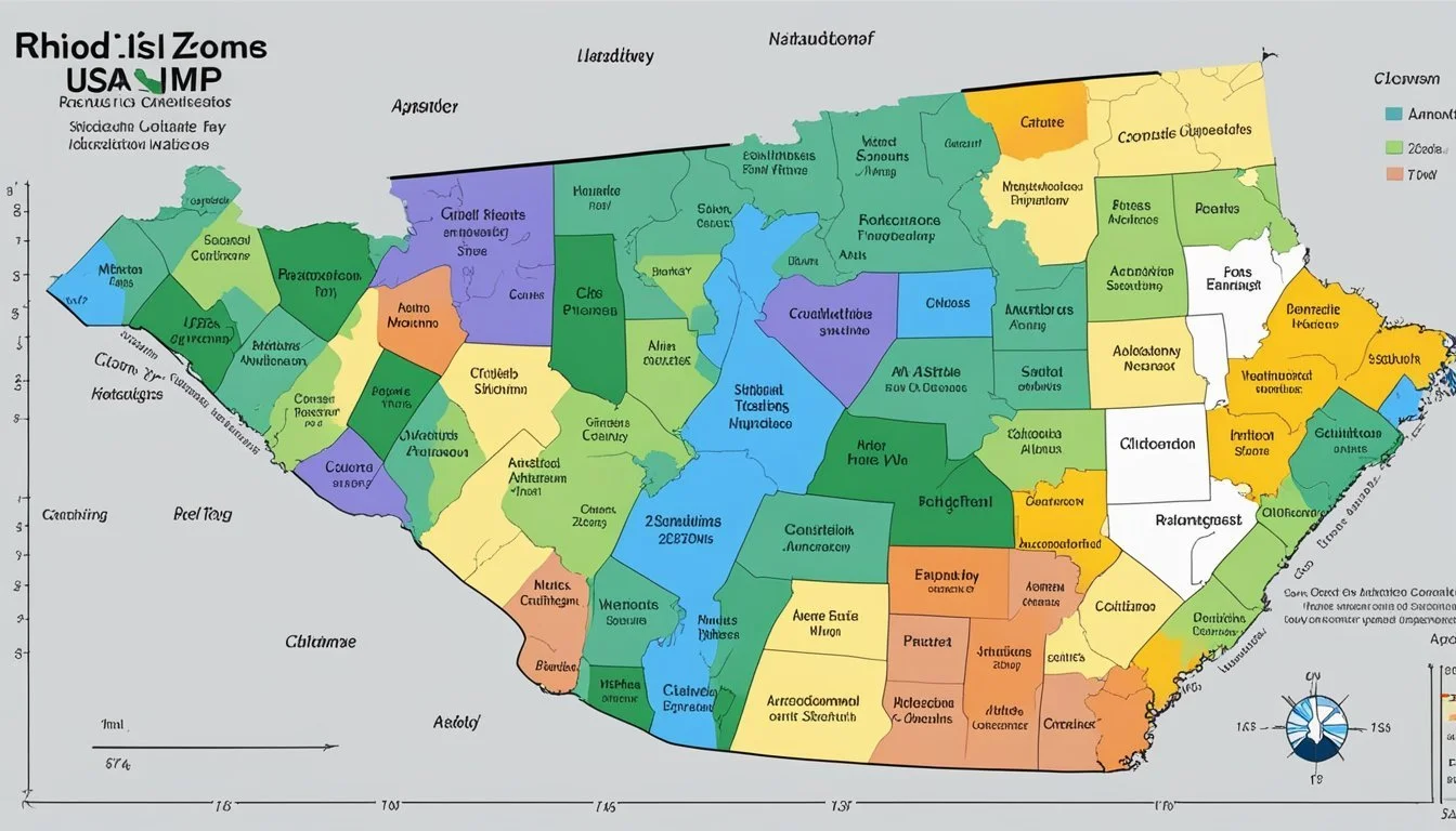
Rhode Island, being the smallest state, might suggest uniformity in climate, but this is far from true. The state exhibits significant variation in winter temperatures from the coastal areas to the inland regions. For instance, coastal regions like Newport sit in Hardiness Zone 7a, where minimum temperatures range from 0°F to 5°F, while northwest locales like Burrillville fall into Zone 6a with harsher conditions, where temperatures can plummet to -10°F to -5°F. This variation means that the same plant could thrive in one part of Rhode Island but not survive the winter just a few miles away.
Impact of Climate Change on Zones
Climate change has a tangible impact on Rhode Island's hardiness zones. Over recent decades, a gradual increase in the average annual extreme minimum winter temperature has been observed. This shift has rejiged the zoological map of the state, with zones moving northward. Evidence from a 2023 USDA Plant Hardiness Zone Map underlines these adjustments. The zones are climbing incrementally higher, meaning plants once thought too tender for Rhode Island may now find a suitable climate in which to flourish. It’s an evolving scenario that sees each new map edition potentially redefining the zones—underscoring the need for ongoing research and adaptability in the face of climatic shifts.
Practical Applications for Gardeners and Growers
Gardeners and growers in Rhode Island leverage the USDA Plant Hardiness Zone Map to make informed decisions about plant selection and care. The map's detailed breakdown of temperature zones guides the choice of perennial plants suited to local climates.
Selecting Appropriate Plants
When selecting perennial plants, gardeners and growers must consider the specific zone indicated by the 2023 USDA Plant Hardiness Zone Map. For instance, a location within Zone 7a supports perennials that can withstand winter temperatures as low as 0°F to 5°F. Conversely, Zone 6a plants must survive chillier conditions, from -10°F to -5°F. Matching plants to these zones is critical, as it ensures perennials return year after year, thriving in their optimal growing conditions.
Planting and Growing Guides
Comprehensive planting guides are vital tools for successful garden planning. They factor in the average annual extreme minimum temperatures, as detailed by resources like the Rhode Island Tree Council, which documents hardiness zone changes over time due to climatic shifts. Growers should reference the USDA's guidance on planting timelines, specifying when to sow seeds or transplant young plants. Following these guides allows for well-timed planting, optimizing plant health and yield.
Regional Planting Zone Considerations

When planning a garden in Rhode Island, it is essential to consider regional planting zones, which are subject to periodic updates that reflect changing climatic conditions. These updates and the tools available can significantly aid gardeners in selecting appropriate plants for the fall season and beyond.
Understanding 30-Year Period Updates
The USDA Hardiness Zone Map undergoes revision approximately every 30 years to account for changes in average minimum temperatures. These updates are critical for gardeners as they directly impact planting decisions, especially for perennial plants that must survive winter conditions year after year. Rhode Island has seen shifts in its hardiness zones; recent updates reflect a slight warming trend which gardeners should take into account when planning their fall planting schedules.
Interactive GIS-Based Map Features
Thanks to advancements in technology, interactive GIS-based maps provide detailed insights into the hardiness zones. Users can zoom into specific regions of Rhode Island and obtain precise information relevant to their local area. This interactive feature is particularly useful since it allows gardeners to fine-tune their selections based on the exact conditions of their planting sites, leading to more successful cultivation through the fall and other seasons. For instance, the USDA growing zone finder helps identify suitable plants for different zones within the state.
Rhode Island Cities and Hardiness Zones

In Rhode Island, gardeners and growers reference the USDA Hardiness Zone Map to select plants suitable for local climates. The map defines zones based on minimum winter temperatures, allowing for more informed planting decisions across various locations.
Hardiness Zones by Location
The state's range of environments means a diversity of hardiness zones are present across different cities and towns. For gardeners, the zone distinctions are invaluable for successful plant cultivation.
Adamsville and Block Island typically belong to Zone 7a.
Moving inland, locations such as Albion and Ashaway are classified in Zone 6a.
Rhode Island's urban centers, like Providence and Cranston, have zones that largely depend on the specific zip code and microclimates within city limits.
Coastal areas such as Narragansett and Newport are influenced by the moderating effect of the Atlantic Ocean, often resulting in warmer winter temperatures and higher zone designations compared to more inland locations such as Foster and Scituate.
A broadband internet connection is recommended when accessing the 2023 USDA Plant Hardiness Zone Map online, ensuring that residents of each location—be it smaller towns like Chepachet or larger cities like East Providence—can identify the most accurate and up-to-date hardiness zone for their area.
Utilizing the Hardiness Zone System

The USDA Hardiness Zone System, established by the U.S. Department of Agriculture's Agricultural Research Service, is a crucial tool for gardeners and farmers in Rhode Island. It guides decision-making for planting and cultivating a successful garden or crop based on the region's climate.
For Optimal Plant Survival and Growth
When selecting plants for landscaping or agriculture in Rhode Island, understanding the local USDA hardiness zone is essential. The planting zone map divides geographic areas into zones based on their average annual minimum winter temperature. This demarcation assists growers in discerning which plants are most likely to thrive in their region.
For instance, a specific location in Rhode Island might fall into Zone 6a, meaning the minimum temperatures experienced are typically between -10°F and -5°F. Having this data allows a gardener to select species that are suitable for these conditions. Conversely, plants assigned to a higher zone number may not be cold-hardy enough for Rhode Island winters and could suffer from the cold climate.
Accessing the latest USDA hardiness zone map is straightforward through entities such as the Rhode Island USDA Plant Zone Hardiness Map, which provides detailed information on the different zones within the state. With this knowledge, individuals can make informed decisions about their planting strategies, leading to better survival rates and growth of their plantings.
Frequently Asked Questions
Understanding the United States Department of Agriculture (USDA) Hardiness Zones is crucial for gardeners in Rhode Island to ensure successful planting and cultivation. These zones provide a standard by which they can determine which plants are most likely to thrive at a location.
What are the main USDA Hardiness Zones found in Rhode Island?
Rhode Island encompasses several hardiness zones, ranging from Zone 5b with the coldest temperatures, through Zone 6a and Zone 6b, to Zone 7a in the warmer parts of the state.
How can I determine the USDA planting zone for my specific zip code in Rhode Island?
To find the planting zone for a specific zip code in Rhode Island, individuals can visit the USDA Plant Hardiness Zone Map website and enter their zip code for a localized result.
What is the current USDA Hardiness Zone classification for Providence, RI?
As of the latest USDA update, Providence, Rhode Island, is classified as being in Zone 6b.
Has there been an update to the USDA Hardiness Zone Map for Rhode Island recently?
It has been noted that the Rhode Island hardiness zones were updated in 2023 to reflect changes in climate patterns, with some areas showing a shift to higher temperature zones.
What USDA zone should gardeners in Newport, RI, reference for planting?
Gardeners in Newport, RI, should refer to their location as being within Zone 7a, which indicates milder winter temperatures suitable for a variety of plants.
Where can I find a reliable Hardiness Zone Map for planning my garden in Rhode Island?
For a reliable and up-to-date Hardiness Zone Map, gardeners can consult the 2023 USDA Plant Hardiness Zone Map, which is the standard guide for determining the most appropriate plants for their area.
