
How to Use a Crop Scouting Drone for Field Monitoring
Optimizing Your Homestead Agriculture
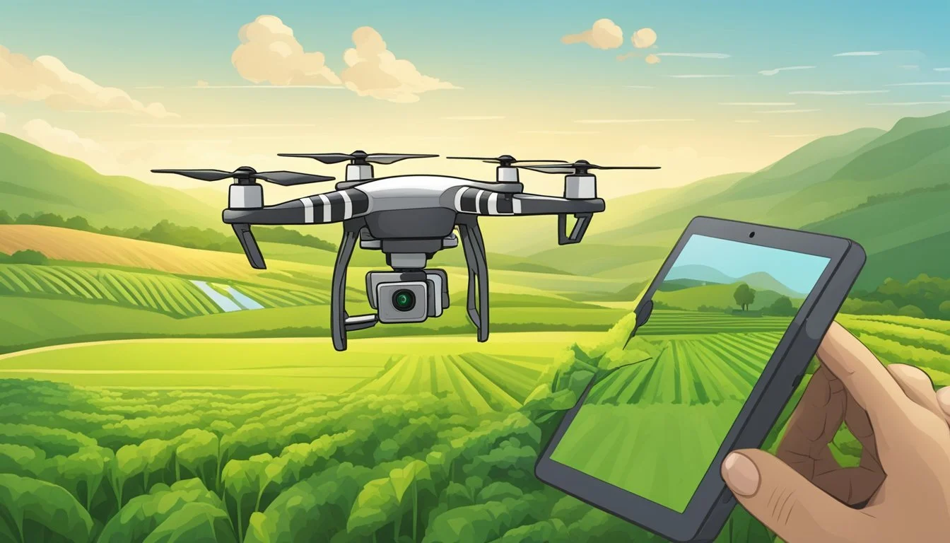
In the realm of modern agriculture, technology has steadily become the backbone of efficient and sustainable farming practices. Homesteaders are increasingly turning to innovative solutions to enhance crop productivity and minimize labor. Among these technological advancements, drone technology has revolutionized the way crop scouting is performed. By employing drones for field monitoring, homesteaders can accurately assess their crops' health, identify potential issues early, and make data-driven decisions that bolster field management strategies.
Crop scouting drones are equipped with advanced sensors and imaging capabilities that capture detailed information across vast stretches of farmland. This allows for meticulous observation of crop growth patterns, soil conditions, and even the detection of pests and diseases that can compromise crop health. For the homesteader, utilizing a drone for regular field surveillance means that manual inspection time is significantly reduced, all while obtaining more comprehensive data than traditional methods would allow.
These aerial vehicles operate on sophisticated software platforms that analyze the collected imagery and provide actionable insights. When integrated into a homestead's routine agricultural practices, drones become an invaluable tool for pinpointing areas that require attention, whether it's directing targeted irrigation or precision application of fertilizers and pesticides. The use of drones effectively transforms field monitoring into a precise science, ultimately contributing to the sustainability and productivity of agriculture on a homestead.
Benefits of Using Drones for Crop Scouting
Drones revolutionize how farmers monitor vast expanses of cropland, offering enhancements in efficiency and the quality of data collected. These advancements translate directly into more informed farm management decisions.
Efficiency and Time Savings
Drones can rapidly cover large agricultural areas, far surpassing manual scouting methods in both speed and area covered. Farmers can gather field data quickly, allowing for prompt responses to any arising issues.
Speed: Drones significantly reduce the time required for scouting tasks.
Coverage: Capable of flying over varied terrain, drones can access difficult-to-reach areas with ease.
Accuracy of Field Data Collection
Precision is crucial when collecting field data. Drones equipped with advanced sensors can capture high-resolution images that provide detailed insights into crop health, productivity, and more.
High-resolution imagery: Offers a detailed view of crops to identify issues that may not be visible at ground level.
Advanced sensors: Some drones come with sensors that can even detect issues below the canopy, offering a full-spectrum view of the field's health.
Actionable Insights for Farm Management
The data drones collect are not just vast but also analyzable, leading to actionable insights. Farmers can use these insights to make precise adjustments to their farming practices, ultimately improving yield and reducing waste.
Data-driven decisions: Enable precise irrigation, fertilization, and pest control management.
Resource optimization: By pinpointing exactly where resources are needed, drones help minimize waste and optimize input costs.
Understanding Drone Technology and Equipment
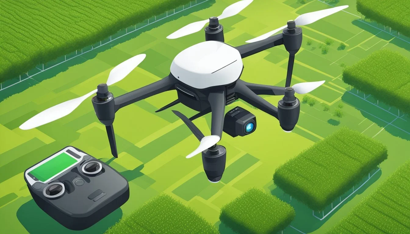
When deciding on the appropriate drone for field monitoring on a homestead, it is crucial to consider the type of drone, the capabilities of its camera and sensors, and its battery life—all factors that will directly impact the effectiveness of crop health analysis.
Types of Drones: Fixed-Wing and Multispectral
Drones utilized for crop scouting broadly fall into two categories: fixed-wing and multispectral. Fixed-wing drones resemble a traditional airplane and are ideal for covering large areas efficiently due to their extended flight times and higher speed capabilities. They can quickly survey expansive tracts of land, making them suitable for larger homesteads.
On the other hand, multispectral drones are equipped with advanced sensors capable of capturing light across multiple wavelengths, including the near-infrared spectrum. This technology is essential for precision agriculture as it allows for the assessment of plant health that isn't visible to the naked eye.
Important Drone Features: Camera, Sensors, and Battery Life
When analyzing drone features, focus on three key aspects:
Camera: The quality of a drone's camera affects its ability to monitor crops effectively. High-resolution cameras enable detailed imagery, vital for identifying issues such as pest infestations or nutrient deficiencies.
Sensors: Drones may come equipped with a variety of sensors, including those that measure heat (thermal sensors) and light (multispectral and hyperspectral sensors). Sensors that can detect infrared light are particularly useful for assessing vegetation health.
Battery Life: The longer a drone can stay airborne, the more ground it can cover. Battery life varies significantly among drones, with some capable of flying for over an hour on a single charge, while others may require more frequent landings and battery swaps.
Analyzing Crop Health with NDVI and NDRE
To assess crop health, two indices are commonly used:
NDVI (Normalized Difference Vegetation Index): This index uses visible and near-infrared light to measure vegetation density and health. NDVI values range from -1 to 1, where higher values indicate healthier vegetation.
NDRE (Normalized Difference Red Edge): Similar to NDVI, NDRE focuses on the 'red edge' spectral band which is sensitive to chlorophyll content. It is particularly effective for assessing the health of crops with high levels of chlorophyll or during certain growth stages.
By leveraging NDVI and NDRE indices via the drone's multispectral sensors, farmers can make informed decisions about water management, fertilizer application, and disease control, leading to more efficient farm management and improved yields.
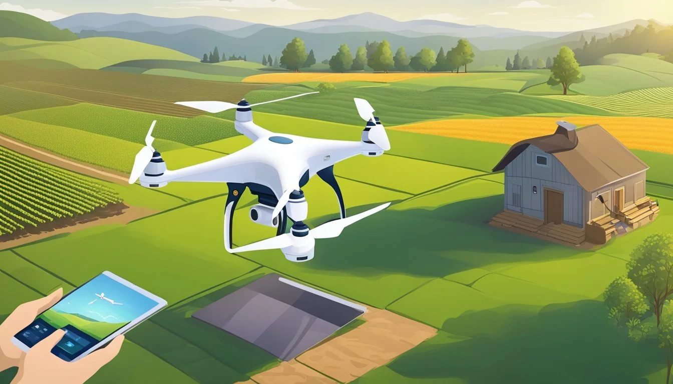
Preparing for Drone Scouting Missions
When utilizing drones for scouting purposes, it is essential for a homesteader to meticulously prepare for the missions ahead. Ensuring all parameters are favorable can make the difference between the success and failure of the drone’s flight and the quality of the data collected.
Selecting the Right Time for Scouting
The timing of a drone scouting mission is critical, especially since weather and crops can change rapidly in spring. A homesteader should aim to fly the drone when the crops have significant growth but are not so tall that they conceal issues. Early morning tends to be a preferable time for such flights as the wind is generally calmer and lighting conditions are optimal for capturing clear imagery.
Optimal Time Range for Spring Scouting:
Early Morning: Light is adequate, and winds are typically low.
Post-Dawn Hours: Ensures dew has evaporated, improving visibility.
Considering Weather Conditions and Visibility
Weather plays a pivotal role in flight safety and scouting effectiveness. High winds, precipitation, or excessive cloud cover can severely impact a drone's stability and the clarity of the images it takes. Homesteaders should monitor weather forecasts to plan missions during conditions that provide the best visibility and the least amount of wind. Safe operation is imperative not only for the integrity of the scouting data but also for the longevity of the drone equipment.
Ideal Weather Conditions for Drone Flight:
Wind Speed: Less than 15 mph for stable operation.
Cloud Cover: Minimal to moderate for clear imagery.
Precipitation: Dry conditions to prevent equipment damage and blurred images.
Flight Planning and Drone Safety
Before each mission, it’s important to conduct pre-flight checks including a review of the drone's battery levels and a safety inspection of its components. Mapping out the flight path ahead of time ensures thorough coverage of the fields and helps in adhering to any local flight regulations. Homesteaders should always maintain a line of sight with the drone to monitor its status and assure it does not stray off the intended course.
Pre-Flight Checklist:
Battery Check: Ensure full charge for maximum flight time.
Safety Inspection: Verify propellers, sensors, and controls are in optimal working condition.
Flight Path: Plan the route beforehand to cover all necessary crop areas.
By adhering to these specific guidelines, one can maximize the potential of their drone scouting missions.
Executing Crop Scouting with Drones

To effectively conduct crop scouting with drones, one must grasp the nuances of drone operation, imagery acquisition, and the synergy between aerial surveillance and on-foot inspection. Employing drones elevates the accuracy and efficiency of field monitoring on a homestead, offering comprehensive insights into crop health and land conditions.
Launching the Drone and Monitoring the Flight
One begins by preparing the drone for takeoff, ensuring that all systems are operational and the battery is fully charged. Safety checks should be performed, including verification of the flight path to avoid obstacles. Upon takeoff, constant monitoring of the drone’s flight is crucial in real-time, keeping an eye on altitude and speed to ensure optimal coverage of the homestead’s crops.
Pre-flight Checklist:
Battery level
Propeller integrity
Sensor functionality
Flight plan
During flight, it's essential that one maintains a line of sight with the drone and monitors the live feedback, adjusting the flight plan as necessary to compensate for any unforeseen changes, such as weather conditions or unexpected field obstructions.
Capturing and Storing Field Imagery
The drone’s primary task is to capture high-resolution images of the crops and land. These photos are pivotal for assessing the health and growth patterns of the crops. Utilizing systematic flying patterns ensures full coverage and effective data collection. After the flight, it's paramount to transfer and store the imagery on a secure device for analysis.
Image Capture Best Practices:
Consistent altitude
Overlapping images for full coverage
Adequate lighting for image clarity
This imagery becomes a visual record of the homestead’s field conditions, enabling comparisons over time to identify trends or issues.
Walking the Land to Investigate and Take Notes
While aerial imagery provides a broad perspective, there is an invaluable need to physically walk the land. This boots-on-the-ground approach allows one to inspect specific areas of concern more closely, verifying potential issues spotted from the air. During this phase, taking detailed notes fortifies the visual data, ensuring a comprehensive field report for crop scouting.
On-foot Inspection Tips:
Target areas identified from aerial photos
Take soil samples if necessary
Record observations of pest activity, weed presence, and other anomalies
Combining drone technology with traditional methods of crop scouting paints a holistic picture of the land, guiding informed decision-making for homestead management.
Data Analysis and Reporting
When utilizing a crop scouting drone, the data collected becomes a powerful tool for monitoring crop health and predicting future performance. The proper analysis and reporting of this data can reveal actionable insights, guiding precision agriculture on a homestead.
Using GIS and Machine Learning for Analysis
Geographic Information Systems (GIS) are instrumental in analyzing the spatial data collected by drones. They allow the homesteader to overlay drone imagery with existing maps and data layers, pinpointing variations in the field with precision. Machine learning takes this analysis further by intelligently classifying and detecting patterns within the data. When trained with datasets of plant health and known outcomes, these algorithms can identify stress factors in crops, such as nutrient deficiency or disease presence, often before they become visible to the human eye.
Data collection: Integrating drone-captured data with GIS
Analyze: Utilizing machine learning to classify field data
Creating Crop Health Maps and Reports
After analysis, it is crucial to create crop health maps and reports that can communicate findings clearly. These tools convert the complex data into a visual format that is easy to interpret, indicating areas of concern and health across the field. Homesteaders can use this information to create targeted action plans, optimizing resource allocation. Reports should document the findings in detail, often including NDVI (Normalized Difference Vegetation Index) values, to show a snapshot of the crop's health status at the time of data capture.
Key visuals in reports:
NDVI maps
Areas requiring attention
Historical comparison charts
Visualizing Data to Predict Crop Performance
The ultimate goal of data analysis is to visualize trends and make predictions about crop performance. Drones collect data over time, which can be used to track the progression of crop health and estimate yields. Visualization through graphs and time-lapse maps support a homesteader's decision-making process by displaying trends in growth, highlighting potential issues before they impact yield severely.
Visualize: Graphical representations of crop health over time
Predict crop performance: Estimating yields based on data trends
Making Informed Agricultural Decisions

Incorporating crop scouting drones enables homesteaders to glean precise data-driven insights that aid in making tactical agricultural decisions throughout the growing season.
Identifying Early Signs of Disease and Pests
Drone technology allows for early detection of diseases and pests, reducing the risk of widespread crop damage. High-resolution cameras and multispectral imaging equip homesteaders with detailed views of the fields so they can spot irregularities that might indicate disease or pest presence. This prompt action ultimately helps in mitigating early losses and protecting crop yields.
Visible Symptoms: Homesteaders can identify changes in leaf color or pattern that may indicate issues.
Pest Infestations: A closer look at high-resolution images may reveal pest gatherings before they spread extensively.
Assessing Plant Health for Mid-Stream Management
As crops grow, it's crucial for homesteaders to ensure they reach optimum size and maturity without stress. Drones equipped with Near-Infrared (NIR) and Red Edge (RE) sensors can monitor plant vigor by assessing the vegetation indices which correlate with plant health. These data points inform agronomists about when to intervene with cultural or chemical treatments, sustaining the health of the crop.
Vegetation Indices: Utilize NIR and RE data to produce health maps.
Growth Tracking: Observe and record the progress towards achieving optimal maturity for various crops.
Optimizing Treatment and Fertilization Plans
Drones support homesteaders in localizing treatment plans, reducing excessive fertilization and pesticide use. By analyzing drone-captured imagery, agronomists can pinpoint areas that require attention, leading to an optimized use of resources. This tailored application ensures crops get the right treatment at the right time, minimizing environmental impact and fostering healthier crops.
Treatment Zones: Establish specific areas that need intervention.
Fertilization Efficiency: Apply nutrients strategically based on precise field data to prevent waste.
Operational Management and Costs
The adoption of drones for crop scouting on homesteads has become increasingly prevalent, necessitating a clear understanding of the operational management and costs involved. This includes the upfront investment, ongoing operational expenses, and the financial gains from improved farm practices.
Budgeting for Drone Equipment and Operations
A homestead planning to integrate drones into their farm operations must first outline a comprehensive budget for drone equipment and operations. Costs typically include the drone itself, which can range from $1,000 to $20,000 depending on capabilities required for precision agriculture. Other expenses to consider are:
Software subscriptions for data analysis: Approximately $250 to $1,200 annually
Maintenance and repairs: Up to 10% of the drone's cost per year
Training or consultant fees: If a consultant is hired, costs can be about $500 to $2,000
Battery replacements: Around $90 to $200 each
Evaluating the Return on Investment
One must assess the economic gains against the drone expenses to determine the Return on Investment (ROI). Drones can enhance farm productivity by providing detailed insights into crop health, leading to more targeted interventions and potentially fewer economic losses from crop failures. Key ROI factors include:
Savings on inputs: Reduced fertilizer and pesticide use through precision application
Increased yields: Early detection and treatment of issues can lead to healthier crops
Time-efficiency: Drones scout far faster than manual methods
Integrating Drones into Standard Farm Practices
To fully harness the cost benefits of agricultural drones, they must be seamlessly incorporated into regular farm practices. Farmers must tailor drone operations to their specific needs, ensuring productivity gains justify the investment. Integration involves:
Routine monitoring: Establishing a schedule for consistent data collection
Data-driven decision making: Utilizing drone data to inform farming strategies
Training: Ensuring personnel are adept at operating drones and interpreting data
By thoroughly preparing for these aspects, homesteads can effectively optimize crop scouting with drones to enhance their agricultural operations.
