
USDA Hardiness Zones in Indiana
Navigating the State's Planting Map
Understanding USDA Hardiness Zones is crucial for gardeners and agricultural planners, particularly in diverse climates like those found in Indiana. These zones are defined by the U.S. Department of Agriculture and serve as a guide to identify how well plants will withstand the region's minimum temperatures. In Indiana, for example, the hardiness zones range from 5a to 6b, which means the average annual extreme minimum winter temperature can vary from -20°F to -5°F across different areas of the state.

Recent updates to the USDA Plant Hardiness Zone Map reflect changes in climate patterns, providing more accurate information for deciding which perennial plants may thrive in particular parts of Indiana. For those engaged in agriculture or gardening, regularly consulting the current hardiness zone map is essential to making informed decisions about plant selection and cultivation practices.
The transition of hardiness zones across Indiana illustrates the varying climatic conditions within the state — distinctions that have implications for local ecosystems and the human activities dependent upon them. By adhering to the guidelines suggested by the USDA Plant Hardiness Zone Map, growers can maximize plant survival, optimize garden layouts, and anticipate the potential impacts of weather trends on their horticultural choices.
Understanding USDA Hardiness Zones
The USDA Hardiness Zones offer a guide to identify how well plants will withstand the cold in different regions. This system is pivotal for gardeners and farmers when selecting plants.
Defining Plant Hardiness Zones
Plant Hardiness Zones are geographical zones on the USDA Plant Hardiness Zone Map, each representing areas with similar climatic conditions pertinent to plant survival and growth. These zones are defined by the average annual extreme minimum temperature over a 30-year period, not by the lowest temperature that has ever occurred or the average yearly low temperature.
The History of USDA Hardiness Zones
The USDA first created and published the plant hardiness zone map in 1960 with updates in subsequent years, the latest major revision occurring in 2012. It was developed to provide a standard upon which gardeners can base their plant choices, relying on historical weather data to calculate the zones. As climate patterns have shifted, the map has been periodically updated, with the latest iteration reflecting warmer average temperatures and shifts in growing zones.
Half Zones and 10-degree F Zones
The USDA plant hardiness zone map is divided into 10-degree F zones, which are further split into half zones to offer a more precise understanding of the local climate. A half zone's temperature range differs by 5 degrees Fahrenheit. For instance, Zone 5a represents areas where the average extreme minimum temperature is between -20°F to -15°F, whereas Zone 5b would be between -15°F to -10°F. These designations help gardeners and growers determine which plants are most likely to thrive in their location.
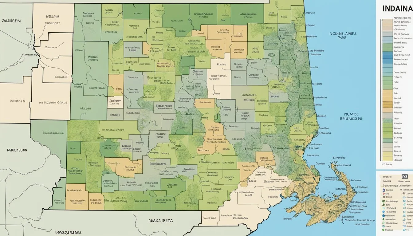
Indiana's USDA Hardiness Zones

The USDA Hardiness Zone Map is a crucial tool for gardeners and agriculturists in Indiana, providing a clear guideline for plant survival and growth based on regional climate conditions. The state spans multiple zones, with significant variation from north to south due to its geographical features and climate.
Zone Distribution in Indiana
Indiana is primarily divided into four hardiness zones: Zone 5a, Zone 5b, Zone 6a, and Zone 6b. In northern Indiana, zones transition from 5a to 5b, where the average minimum temperatures range from -20°F to -10°F. Moving southward, central portions of the state typically fall within Zone 6a, experiencing slightly milder winter lows between -10°F and -5°F. The southernmost regions, including areas close to the Ohio River, are classified as Zone 6b, with winter temperatures rarely dropping below -5°F.
Northern Indiana: Zone 5a to Zone 5b
Central Indiana: Zone 6a
Southern Indiana (near Ohio River): Zone 6b
Climate and Microclimates
The climate in Indiana is largely continental, with cold winters and hot, humid summers. However, due to factors such as urban development, proximity to bodies of water, and variations in elevation, numerous microclimates exist throughout the state. These microclimates can cause local variations in hardiness zones, and they are essential to consider for accurate plant selection and cultivation.
With ongoing climate change, there is evidence of a northward shift of these hardiness zones, which means that areas in Indiana may experience warmer average minimum temperatures than in the past. Gardeners and growers need to adapt their practices to account for these changes and the potential impact on plant hardiness and survival.
Interpreting the Zone Map
The USDA Plant Hardiness Zone Map provides gardeners with essential information regarding which plants are likely to thrive in their location. By assessing average annual minimum winter temperatures, gardeners can effectively select species for their gardens.
Map Accuracy and Detail
The USDA hardiness zone map is finely detailed using GIS (Geographic Information Systems) technology. This map, developed in partnership with the PRISM Climate Group, offers accurate and detailed insight into the temperature landscape across states. For Indiana, this means a clear delineation of zones where specific plants can be expected to survive the winter conditions.
Using the Map for Gardening
Gardeners utilize the USDA Hardiness Zone Map to inform their plant selection process. The map divides regions into zones based on 10-degree F intervals, with additional 5-degree F subdivisions to provide a nuanced guide. Each zone reflects the 1991-2020 climate patterns, equipping gardeners with the knowledge of what plants can potentially endure the climate of their specific zone in Indiana.
Map Updates and Revisions
Regarding map revisions, updates to the USDA Hardiness Zone Map incorporate climatic data over a 30-year period, ensuring that the map reflects long-term trends rather than year-by-year anomalies. The USDA hardiness zone map for Indiana has experienced updates, with the latest map reflecting data from 1991 through 2020. These updates are critical as they account for shifts in climate which can affect hardiness zones and, consequently, planting decisions. Map downloads are available for gardeners seeking the most current information.
Practical Applications for Gardeners
The recent updates to the USDA hardiness zones in Indiana provide gardeners with crucial information for selecting suitable flora. Recognizing the correct zone and its implications can significantly affect the survivability and health of plants in a garden.
Selecting Plants by Zone
Gardeners in Indiana can now refer to the updated plant hardiness zones to determine the right plants for their areas. For instance, those in Indianapolis, now in Zone 6b, can select trees, shrubs, and perennial plants that are tolerant to temperatures as low as -5 to 0 degrees Fahrenheit. Conversely, regions in Zone 5b will focus on species that can withstand colder winters, typically between -15 to -10 degrees Fahrenheit.
Understanding Local Variations
Even within the same USDA zone, local environmental factors can create variations. One part of Indiana might be classified as Zone 6a, but the actual conditions can differ due to factors like soil type and exposure to wind. Gardeners should consider these local differences when choosing plants. For example, while most of Northern Indiana is in Zone 5b, specific areas could lean towards the warmer end of the zone's temperature spectrum.
Adjusting for Microclimates
Microclimates are small areas where the climate differs from the surrounding region, affecting how plants grow. An area on the south side of a building, for instance, might be warmer due to radiant heat, potentially simulating Zone 6b conditions in a predominantly Zone 6a region. Gardeners should identify and capitalize on microclimates within their gardens by planting accordingly, taking care to observe and record variations in temperature, wind protection, and sun exposure.
By applying the knowledge of USDA zones, understanding local variations, and adjusting for microclimates, Indiana gardeners can make informed decisions to cultivate thriving gardens tailored to their unique environmental conditions.
Additional Resources
When exploring plant hardiness zones in Indiana, there are a variety of resources available to gardeners, farmers, and researchers. These resources provide detailed weather data, climate analysis, and support for agricultural planning specific to regions defined by zip code.
Educational Materials
For those seeking to deepen their understanding of plant hardiness zones and how they relate to agriculture in Indiana, Oregon State University has collaborated with the USDA to produce educational material. These materials help elucidate the complexities of climate groups and provide guidance on selecting plants suitable for each zone.
Online Tools
Interactive online tools have been developed to assist users in navigating the various plant hardiness zones. One particularly useful tool is the USDA Plant Hardiness Zone Map, crafted by the Agricultural Research Service, which offers a search box feature allowing individuals to find their zone by zip code.
Government Initiatives
The government has taken steps to update and maintain zone information in response to changing climates. The initiative by the USDA to update the Indiana USDA Zones Map reflects ongoing climate changes and provides a more accurate tool for gardeners and farmers to determine the viability of their crops.
Addressing Climate Change

In the context of Indiana, climate change has prompted noticeable shifts in regional planting strategies. This section examines the effects on USDA Hardiness Zones and anticipates future climatic trends.
Impact on USDA Zones
Recent updates to the USDA Hardiness Zones reflect Indiana's rising average temperatures. The shift is a clear indicator of warmer temperatures influencing plant viability and growth patterns. Notably, certain areas of Indiana have transitioned into warmer hardiness zones, underscoring the need for gardeners and growers to reconsider their plant selections.
Future Predictions
Experts project that if current climate change trends continue, the hardiness zones will further migrate northward. These patterns suggest that average temperatures will keep increasing, leading to longer growing seasons. However, the changes may also pose challenges, such as potential plant vulnerabilities to pests and diseases previously uncommon in Indiana's temperate climate.
Frequently Asked Questions
Understanding the USDA Hardiness Zones is crucial for gardeners in Indiana to successfully grow various plants and ensure their gardens thrive through the seasons.
Which plants are suitable for growing in Zone 6a in Indiana?
Gardeners in Indiana's Zone 6a can grow a variety of plants, including daylilies, echinacea, and black-eyed Susans, as these flora are well-adapted to withstand the zone's minimum temperatures of -10°F to -5°F.
How can I find the USDA Hardiness Zone for my specific location in Indiana?
Individuals can locate the USDA Hardiness Zone for their area in Indiana by consulting the 2023 USDA Plant Hardiness Zone Map or using interactive tools available on gardening websites to pinpoint their exact zone based on their zip code.
What are the recommended trees for planting in Indiana's zone 5b?
Zone 5b in Indiana is suited for trees that can tolerate colder conditions, such as sugar maple and white oak, which can endure winter temperatures as low as -15°F to -10°F.
What is the hardiness zone of Indianapolis for gardening purposes?
For gardening in Indianapolis, the area is classified within Zone 6b, with average annual extreme minimum temperatures ranging between 0°F and -5°F, as identified in the latest hardiness zone update.
How does the USDA Hardiness Zone map assist Indiana gardeners?
The USDA Hardiness Zone map provides Indiana gardeners with valuable information about the average minimum temperatures of their specific location, guiding them in selecting plants that are most likely to survive the winter.
What hardiness zone does Madison, Indiana, fall under for planting?
Madison, Indiana, is categorized under Zone 6a, which is conducive to plants that can handle annual low temperatures down to -10°F to -5°F, helping gardeners make informed planting decisions.
