
USDA Hardiness Zones in Iowa
Navigating Climate for Gardening Success
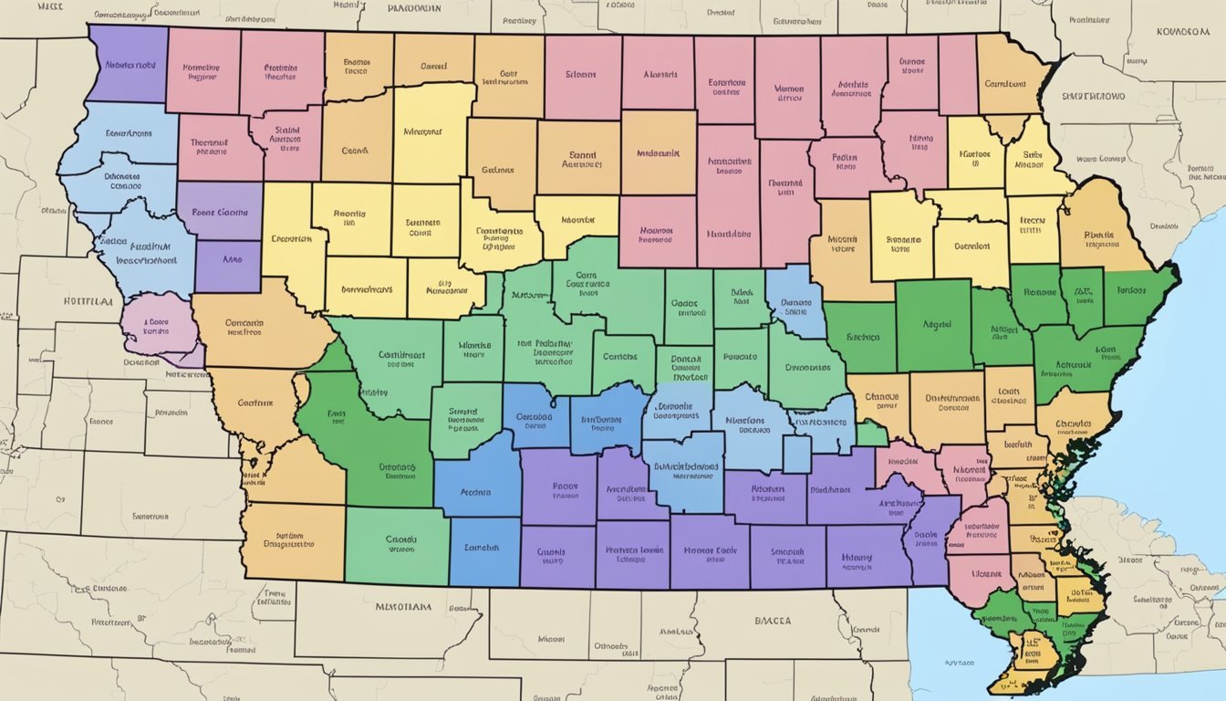
Gardeners and growers across Iowa rely on the USDA Plant Hardiness Zone Map as an essential guide for landscaping and agriculture. This tool, developed by the United States Department of Agriculture, helps determine the most suitable plants that are likely to thrive in specific locations within the state. The map classifies the region into zones based on the average annual extreme minimum temperature experienced over a thirty-year period. For Iowa, these zones range from 4a, with minimum temperatures as low as -30°F, to 6a, where the temperatures seldom fall below -10°F.

Understanding the intricacies of these hardiness zones is crucial for successful plant cultivation in Iowa. The zones serve as a foundational resource when making informed decisions about which perennial plants to select for enduring Iowa's winters. Each hardiness zone is delineated by a 10-degree Fahrenheit difference in the average annual minimum temperature, with subcategories "a" and "b" further refining this classification by 5-degree increments.
For those involved in the agriculture or horticulture sectors, or simply for residents looking to beautify their personal gardens, recognizing the importance of these zones cannot be overstated. Observing the guidelines provided by the USDA Hardiness Zone Map ensures that the plants chosen are well-adapted to the local climate, which is instrumental in the longevity and health of Iowa's diverse flora.
Understanding USDA Hardiness Zones
The USDA Plant Hardiness Zone Map is an essential tool for gardeners and agriculturalists, categorizing regions by their climatic conditions to inform plant cultivation choices.
Defining Hardiness and Hardiness Zones
Plant hardiness refers to the ability of a plant to survive adverse growing climates such as frost, snow, and extreme temperatures. The USDA Hardiness Zones are geographical areas defined by the average annual minimum winter temperature. Zones range from 1 (coldest) to 13 (warmest), indicating the climate in which a plant can thrive.
The Importance of USDA Hardiness Zones
USDA Hardiness Zones are crucial for successful gardening and farming, as they guide plant selection based on the likelihood of survival in local climates. By consulting the USDA Plant Hardiness Zone Map, one can determine the best plants for their area, effectively minimizing crop failure due to weather conditions.
Overview of the 13 USDA Zones
The USDA map divides North America into 13 zones:
Zone 1: the coldest, with average annual minimum temperatures below -50°F.
Zones 2-12: each subsequent zone represents a 10-degree F temperature increase, further subdivided into "a" and "b" for 5-degree F increments.
Zone 13: the warmest, experiencing minimal temperatures of 60°F or above.
This classification enables gardeners to compare their local conditions with the tolerances of various plants, ensuring proper growth and development.
The USDA Plant Hardiness Zone Map
The USDA Plant Hardiness Zone Map is an essential tool for gardeners and researchers, delineating regions based on their climatic conditions, particularly the average annual minimum winter temperature.
Developing the USDA Map
The USDA's Agricultural Research Service (ARS), in collaboration with Oregon State University and the PRISM Climate Group, developed the USDA Plant Hardiness Zone Map. This comprehensive map defines zones by 10-degree F intervals, further refined into 5-degree F half zones. It stems from an extensive analysis of climate fluctuations and patterns across the United States to aid in the selection of suitable plants for cultivation.
The Role of GIS Technology
GIS, or Geographic Information Systems technology, played a pivotal role in updating the USDA Plant Hardiness Zone Map. By using an interactive GIS-based map, individuals can access detailed information regarding plant hardiness zones. This level of precision is crucial as it allows gardeners to select the most appropriate plants for their specific location.
Understanding the Map's Color Codes
Each zone on the map is represented by a distinct color, making it simple to identify one's precise hardiness zone at a glance. The colors range from cool blues for the coldest zones to warm reds for the hotter zones. The USDA provides an online version of the map where one can easily navigate and zoom into their state, like Iowa, to discover local plant hardiness zones, with information sourced from the latest climatic data.
For an interactive experience, accessing the USDA Plant Hardiness Zone Map via the online platform can prove to be a valuable resource for understanding and applying this critical data.
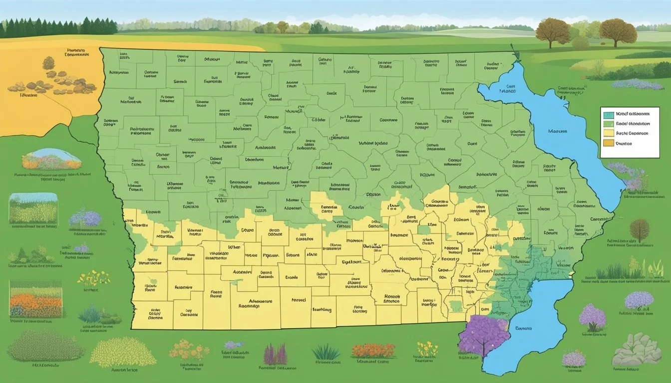
Iowa's Hardiness Zones
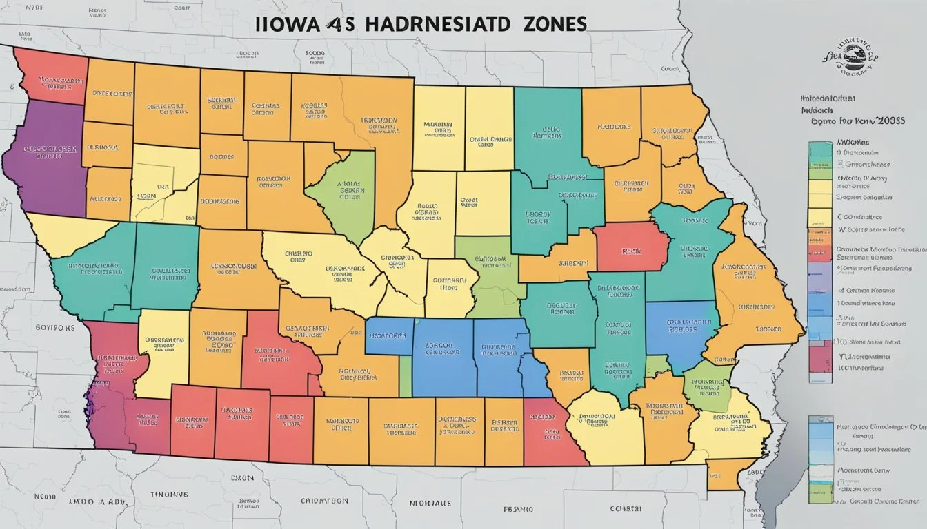
The state of Iowa spans several USDA Plant Hardiness Zones, reflecting varying local climates from bitterly cold winters to more temperate conditions. These zones are critical for gardeners and agricultural professionals when selecting plants for cultivation.
Regional Variation Within Iowa
Iowa exhibits a gradient of hardiness zones from the northeast to the southwest. The northeast pocket of Iowa, typically colder, often falls into Zone 4b, while the southeast and parts of the southwest Iowa area can be classified as Zone 5b or even Zone 6a. This variation points to a geographical shift in zone boundaries that gardeners must attend to.
Significance of Elevation and Large Bodies of Water
Elevation and proximity to large bodies of water significantly affect Iowa's hardiness zones. Elevated areas tend to be cooler, which may shift a location into a cooler zone. Although Iowa is not near an ocean, large rivers like the Mississippi create microclimates that can moderate temperatures, leading areas alongside them to be warmer and sometimes residing in a different hardiness zone.
Implications for Local Agriculture and Horticulture
The diversity of hardiness zones within Iowa means local agriculture and horticulture must adapt strategies to specific regional climates. For instance, plants suitable for Zone 5, which encompasses a large part of Iowa, might not survive in the colder Zone 4 without special care. Understanding these zones helps in making informed decisions regarding crop selection and protective measures against potential cold damage.
Hardiness in Gardening and Agriculture
Understanding plant hardiness is critical for success in gardening and agriculture, especially in a region with variable climates like Iowa. It guides the selection and care of plants based on how well they can withstand local minimum temperatures.
Selecting Plants for Iowa's Climate
When choosing plants for Iowa's landscape, gardeners and growers consider the USDA Plant Hardiness Zone Map, which divides regions based on the average annual extreme minimum temperature. In Iowa, gardeners might encounter a range from Zone 4b, with temperatures dipping to -25°F, to Zone 5a, with temperatures no lower than -15°F.
Hardiness Considerations for Perennial Plants
Perennial plants are a mainstay in gardens due to their ability to return year after year. Iowa's gardeners use the hardiness zones to inform their choices, as a plant's cold tolerance is key to its survival. For instance, a perennial labeled for Zone 5 should be hardy enough to withstand Iowa's winter temperatures and thrive in subsequent growing seasons.
Microclimates and Their Effects
Microclimates play a significant role in plant hardiness and can differ markedly even within a small area. Factors such as proximity to buildings, bodies of water, or specific elevation can create a warmer or cooler microclimate, affecting which plants can be cultivated in that specific location. For instance, sheltered areas in a garden may support plants rated for a half zone warmer than the regional average.
Utilizing the Map for Growing Success
The USDA Plant Hardiness Zone Map is an essential tool for gardeners and growers, providing a clear guide to selecting the right plants for the climate in Iowa. It is based on the average annual extreme minimum winter temperature, offering a detailed layout of fahrenheit zones.
Interpreting Zone Information
Each zone on the map represents a 10-degree Fahrenheit band, with subdivided 5-degree Fahrenheit zones to provide more precise guidance. The division of Zone 5, for example, with its annual minimum average temperature ranging between -10 to -20 degrees Fahrenheit, indicates which plants can survive the winter in that area. Gardeners should match the zone information with the cold tolerance of potential plant selections to ensure suitability.
Adjusting Gardening Strategies by Zone
When a gardener identifies their zone, they can adjust their gardening strategies effectively. For instance, in a zone where the average annual minimum temperatures are on the higher end, one might opt for plants that require a longer growing season. Conversely, zones with lower minimum temperatures might necessitate the use of cold frames or choosing plant varieties bred for cold hardiness.
Mitigating Risks of Temperature Fluctuations
Temperature fluctuations can pose a risk to plants, particularly when average annual extreme minimum temperatures are not consistent. Gardeners can mitigate these risks by monitoring local forecasts and providing protection such as mulch or frost cloths during unexpected cold snaps. Understanding the hardiness zone can also guide planting times to avoid late or early frosts.
Resources and Tools
The selection of appropriate plant species for gardening and agriculture in Iowa is supported by a variety of resources and tools. These include official maps, educational guides, and comprehensive data resources, all aimed at assisting users to understand and effectively utilize USDA Hardiness Zone information.
Official USDA Website and Map Access
The USDA Plant Hardiness Zone Map is a critical tool for gardeners and growers in Iowa. It provides a clear geographical representation of the different climate zones. For optimal performance, a broadband internet connection is recommended to access these detailed maps. The USDA's official website serves as a hub for this crucial info, allowing users to identify the most suitable plants for their specific zone.
Educational Materials and Guides
A host of educational materials and guides aim to aid gardening and horticulture enthusiasts. The Iowa State University Extension provides updated insights with their guide on the Hardiness Zone changes, illustrating shifts in zones and offering interpretation. For those seeking comprehensive knowledge, ebooks and other downloadable materials are available for in-depth study.
Data Resources for In-Depth Analysis
For users requiring more precise data, the geographic information system (GIS) layers and historical temperature data from local weather stations are invaluable. These can be accessed through specialized services which provide detailed analyses. Such resources allow for an accurate understanding of climate variations, which is essential for research and advanced planning in agriculture and horticulture within Iowa's diverse climate zones.
Case Studies and Research
Recent studies by authoritative bodies have focused on plant hardiness zones, particularly in Iowa, to understand and address the impacts of climate change. These detailed investigations are driven by the need to update and inform agricultural practices for sustainability and resilience.
Research by the Agricultural Research Service
The Agricultural Research Service (ARS), a scientific wing of the United States Department of Agriculture (USDA), regularly conducts research to update the USDA Plant Hardiness Zone Map. This research is instrumental for gardeners and growers, providing up-to-date information on which plants are most likely to thrive in current conditions. For instance, the newer edition of the Plant Hardiness Zone Map reflects these changes and offers more precise data for planting decisions.
Studies in Iowa's Hardiness Zones
Iowa State University has been actively involved in studies concerning local hardiness zones. Research conducted has considered historical weather patterns in regions like Mason City to assess planting viability. This localized research helps in understanding both national and regional implications on agriculture specific to Iowa's zones and can aid in crop insurance decision-making, as indicated by available studies.
Impact of Climate Change on Hardiness Zones
Researchers have been examining the impact of climate change on hardiness zones with a focus on shifts in temperature bands that define the zones. With climate as a pivotal factor in defining these zones, studies aim to forecast future shifts. The USDA and ARS are closely monitoring these changes to provide robust, scientifically supported resources such as the USDA Plant Hardiness Zone Map, which now reflects more granular temperature variances that can be attributed to changing climate patterns.
Local Horticultural and Botanical Knowledge

As the U.S. Department of Agriculture releases its new Plant Hardiness Zone Map, Iowa's gardeners and agricultural community are presented with updated and critical information. This section sheds light on adapting gardening practices in Iowa, the role of botanical gardens in education, and the selection of plant varieties best suited to Iowa's climate.
Adapting Gardening Practices in Iowa
Iowa's horticulturalists consider the local climate's impact on the survival of plants when selecting species for cultivation. The cold tolerance is a paramount factor, as Iowa endures frigid winters that influence plant hardiness and growth. Gardeners are modifying their practices to accommodate for shifts in climatological patterns, ensuring their gardens are resilient to changes in the environment.
Botanical Gardens and Educational Outreach
Botanical gardens across Iowa serve not just as sanctuaries for various plant species but also play a pivotal role in educational outreach. They make complex botanical and horticultural concepts more accessible to the public and guide visitors on implementing sustainable gardening practices. Through workshops and tours, they foster greater awareness of Iowa's specific zone considerations and promote better gardening decisions for healthy plant ecosystems.
Cultivating Hardy Varieties for Iowa's Climate
The focus in Iowa has shifted towards selecting and nurturing plant varieties that are adaptive to the local climate, taking the updated USDA Plant Hardiness Zone Map into account. An extensive range of plants, both native and non-native, have been evaluated for their ability to withstand Iowa's temperatures, leading horticulturalists to prefer species that demonstrate robustness in colder Zone 4 through warmer Zone 7 conditions.
Supplementary Information
When planning a garden in Iowa, understanding the USDA Hardiness Zone Map is crucial for selecting appropriate plants. This section provides essential resources for gardeners seeking detailed information about their specific hardiness zone, informative publications, and the anticipated modifications to the hardiness zone map.
Finding Your Precise Hardiness Zone
Gardeners can pinpoint their exact hardiness zone with the help of interactive tools such as the Iowa Interactive USDA Plant Hardiness Zone Map. By entering a zip code, individuals receive detailed information including their zone's annual minimum temperatures, which can be affected by factors like elevation and urban heat islands.
Publications and Catalogs for Gardeners
Various publications and catalogs offer valuable insight to gardeners in Iowa. These resources are designed to help gardeners select plants that will thrive in their specific zone, considering factors such as wind and fall temperatures. For instance, the Updated USDA Plant Zone Hardiness Map Available for Planting Decisions is a useful guide for making informed planting choices.
Future Updates to the Hardiness Zone Map
As climate patterns shift, the USDA periodically updates the hardiness zone map. The latest edition provides more precision and may include changes reflecting new annual minimum temperature data. To get updates, check the 2023 USDA Plant Hardiness Zone Map, which captures such modifications and even includes zones for Puerto Rico.
Frequently Asked Questions
The USDA Hardiness Zone Map provides valuable information for gardeners and growers, indicating which plants will thrive in specific locations. Understanding these zones, especially in Iowa, can be critical for successful planting and cultivation.
Which USDA Hardiness Zones are found in Iowa?
Iowa comprises several USDA Hardiness Zones, including Zone 4a, which experiences minimum temperatures of -30°F to -25°F, through Zone 5b, with temperatures of -15°F to -10°F. There are variations within the state, reflecting diverse climatic conditions suitable for varied planting strategies.
How can I find my specific planting zone by zip code in Iowa?
Individuals can determine their specific planting zone by entering their zip code on the USDA Plant Hardiness Zone Map website. This tool provides precise information, enabling gardeners to select appropriate plants for their location.
What is the difference between USDA Zones 5a and 5b?
The main difference between USDA Zones 5a and 5b lies in the average annual extreme minimum temperature. Zone 5a is colder, with temperatures ranging from -20°F to -15°F, while Zone 5b experiences slightly milder winters, with temperatures from -15°F to -10°F.
How do climate zones in Des Moines compare to the rest of Iowa?
Des Moines generally falls into USDA Zone 5b, which is comparatively warmer than the more northern parts of Iowa that may fall into Zone 4. This indicates that Des Moines has a slightly longer growing season than more northerly areas.
Is there an updated map of Iowa's planting zones for the current year?
An updated version of Iowa's planting zones for the current year is available, reflecting the latest climatic data. Gardeners can access this through resources such as the Updated USDA Iowa plant zone hardiness map, which provides the most recent information for planting decisions.
Can you provide information on the best plants for Zone 5?
Zone 5 is suitable for a wide range of plants, including perennials like coneflowers, daylilies, and hostas, as well as a variety of trees and shrubs. Gardeners should select plants that are rated for Zone 5 or below to ensure they can withstand the winter temperatures of this region.
